
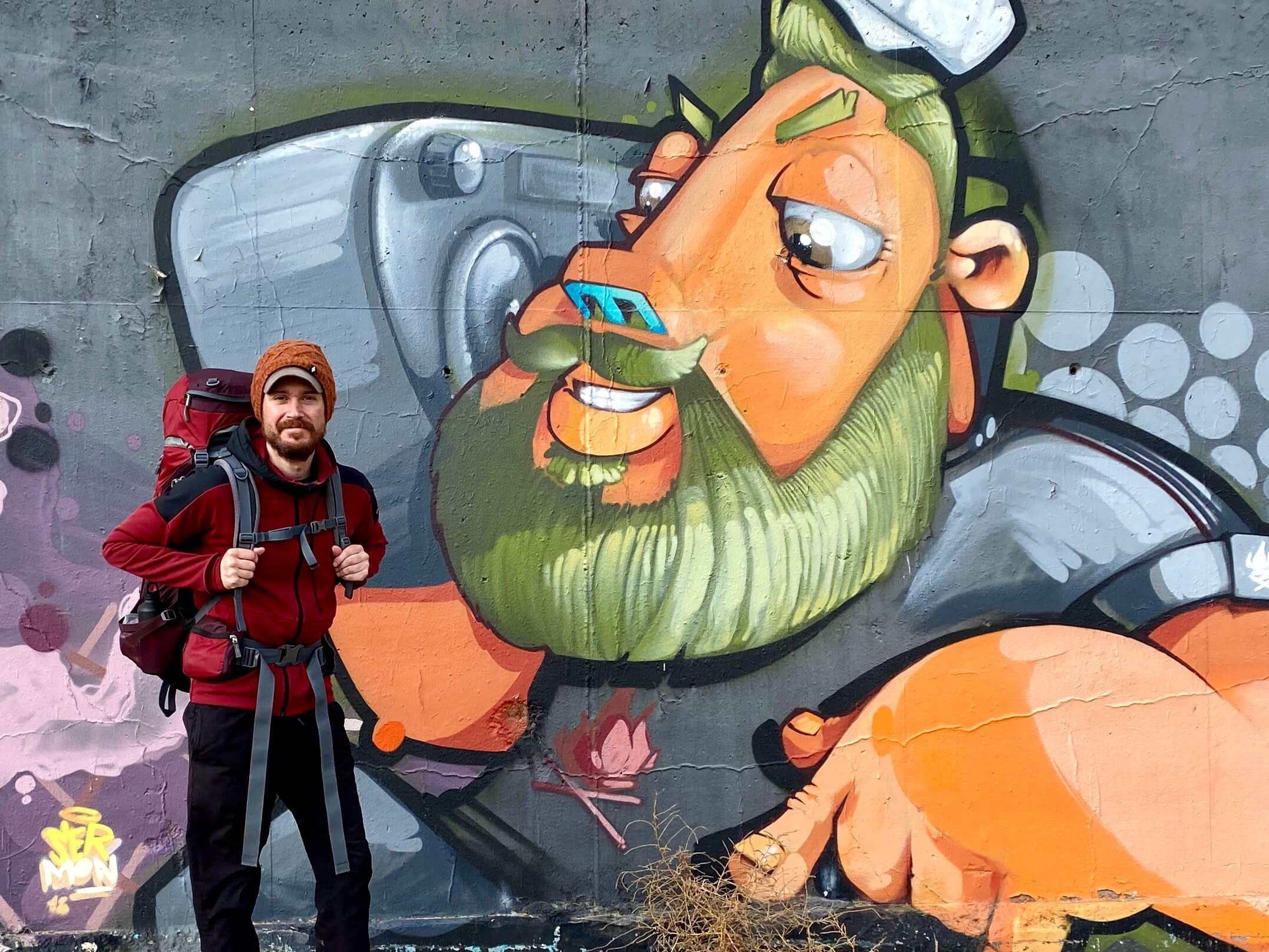
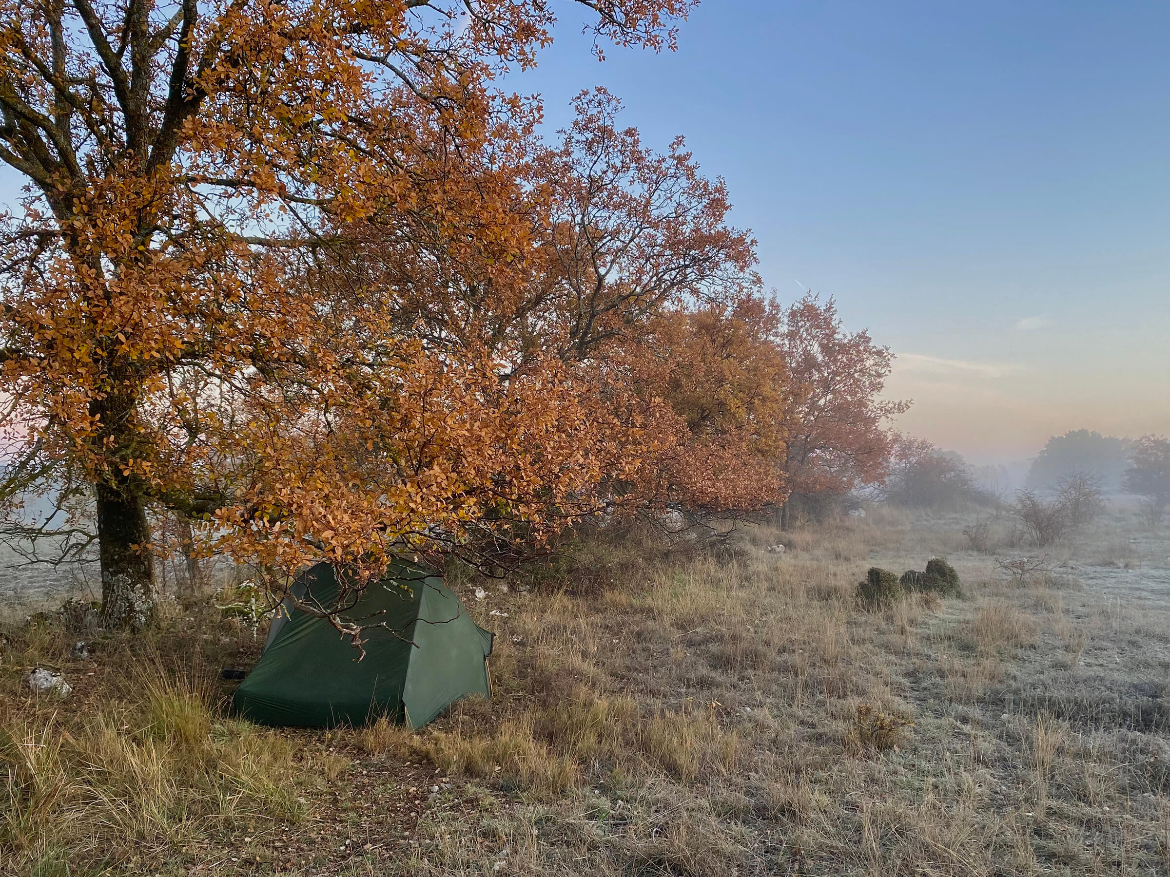
Walking
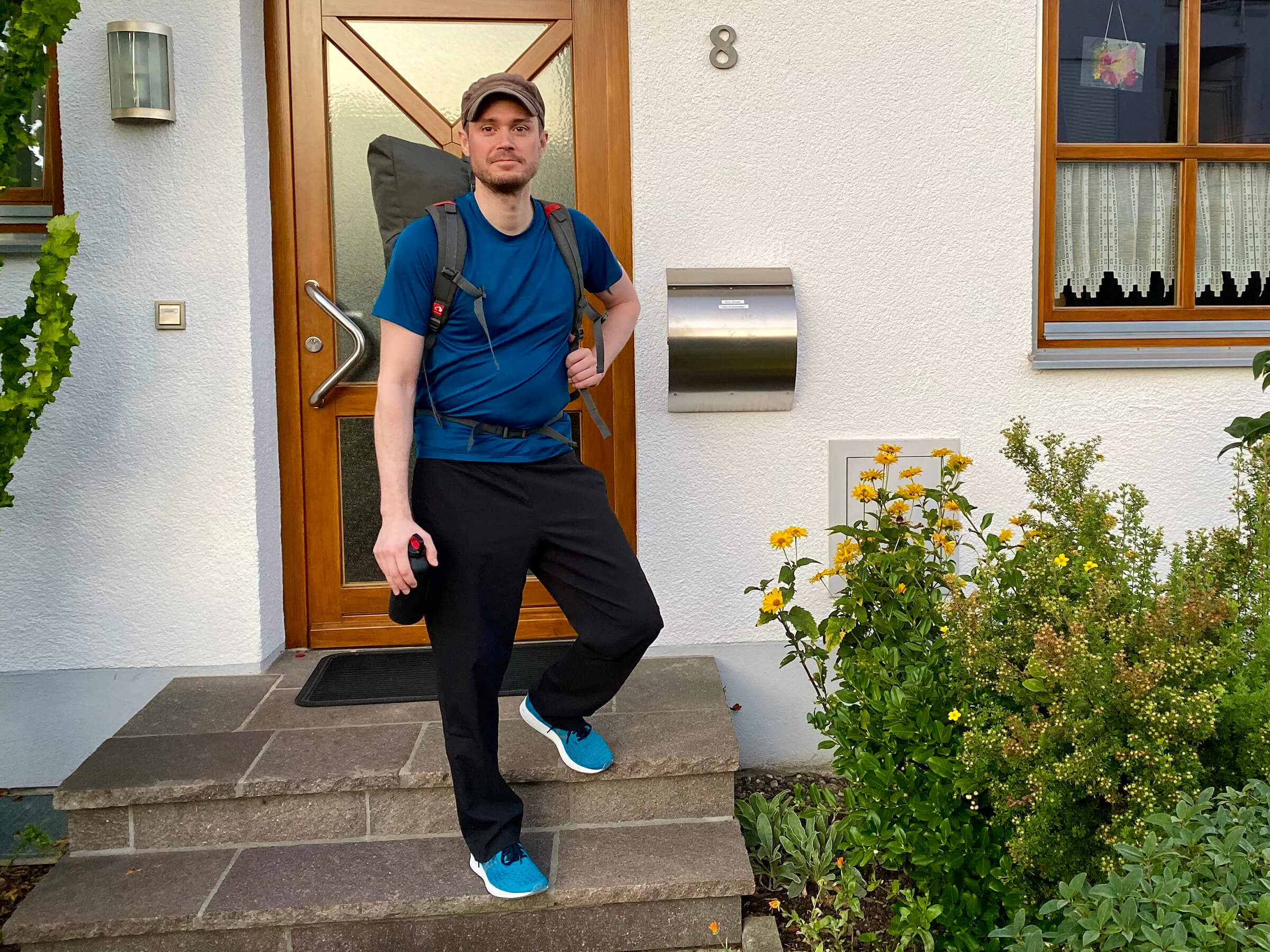
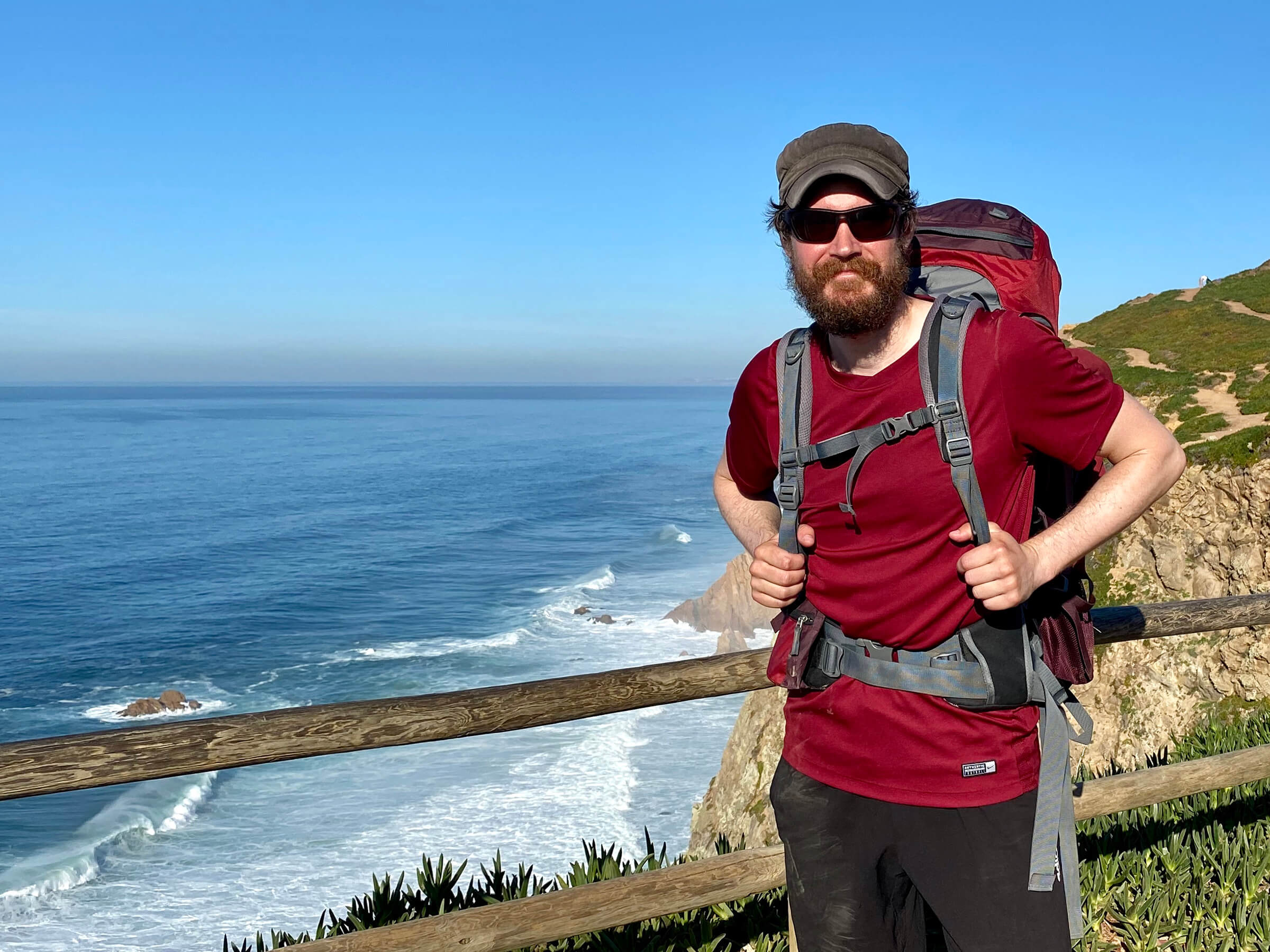
On the first of October 2019, I started walking west from my hometown Augsburg in Germany. I traveled 4,240 miles through 14 countries, then the Coronavirus outbreak forced me to pause my walk.
Feel free
to connect with me!


Route
(Last updated: 24 March 2020)
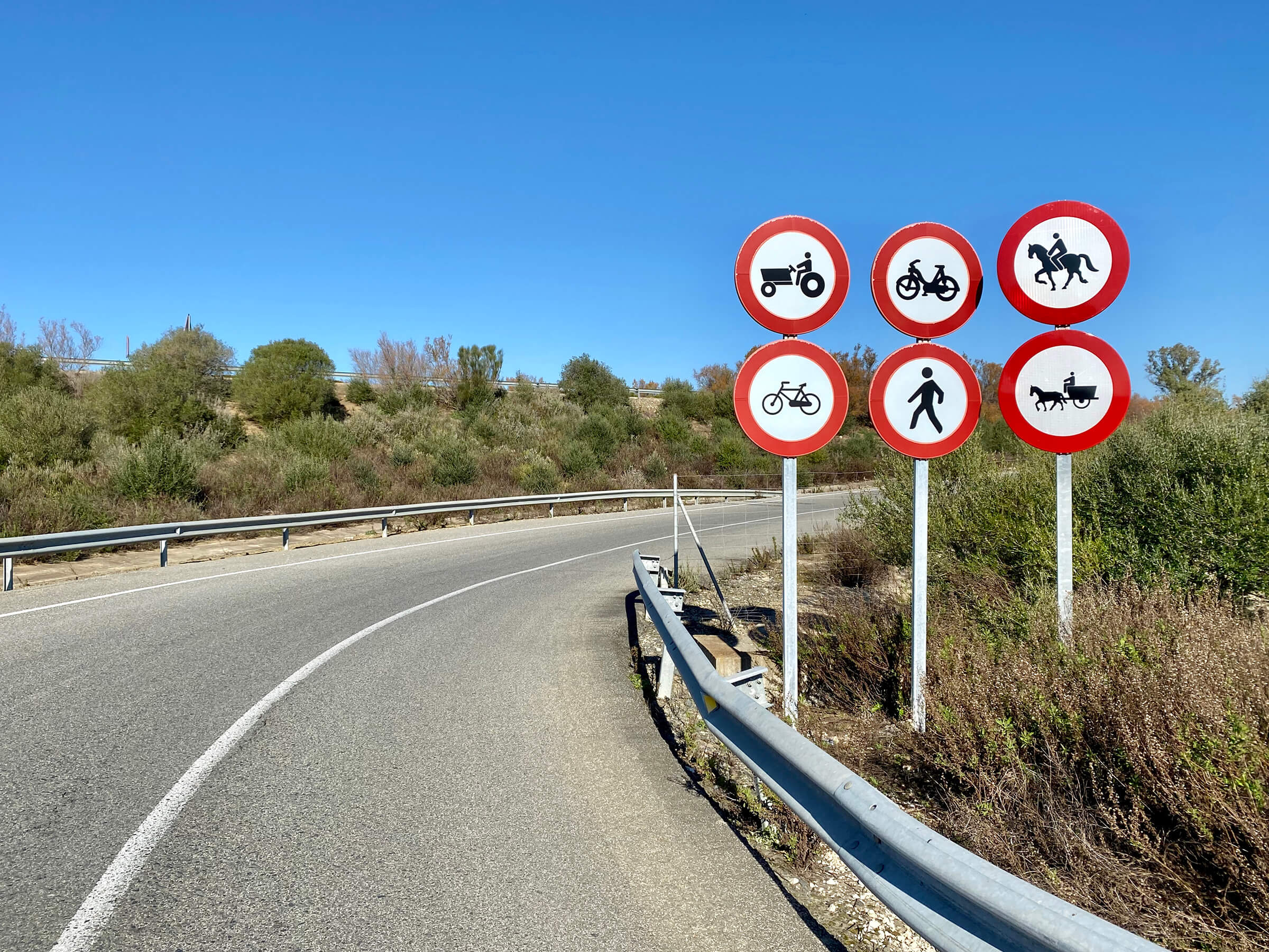
I’m using apps that track my GPS coordinates every few minutes. This data is then used to create a detailed map of where I’ve walked. Check out the complete map, or browse the sections below. I also update my route regularly on Polarsteps.
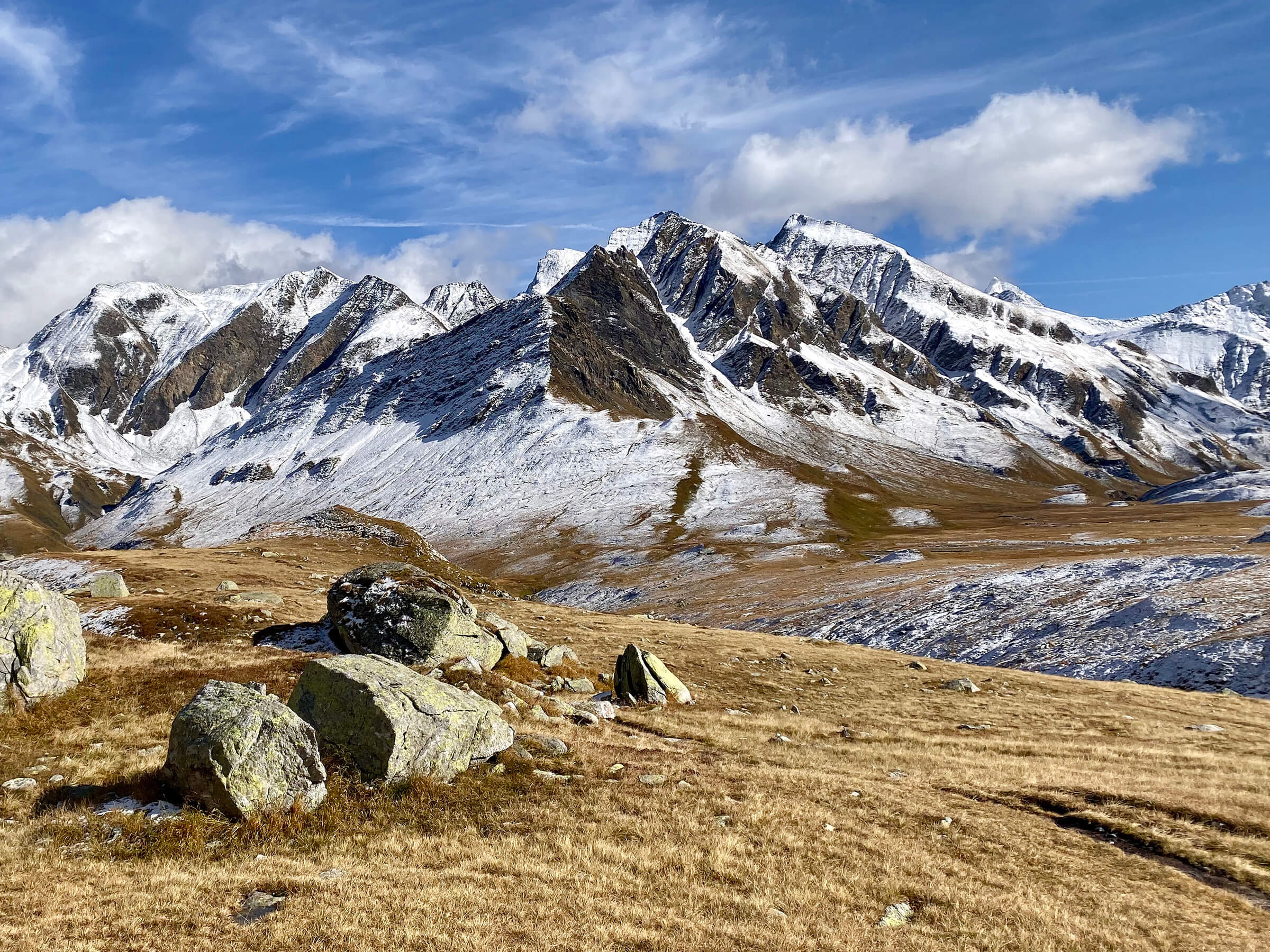
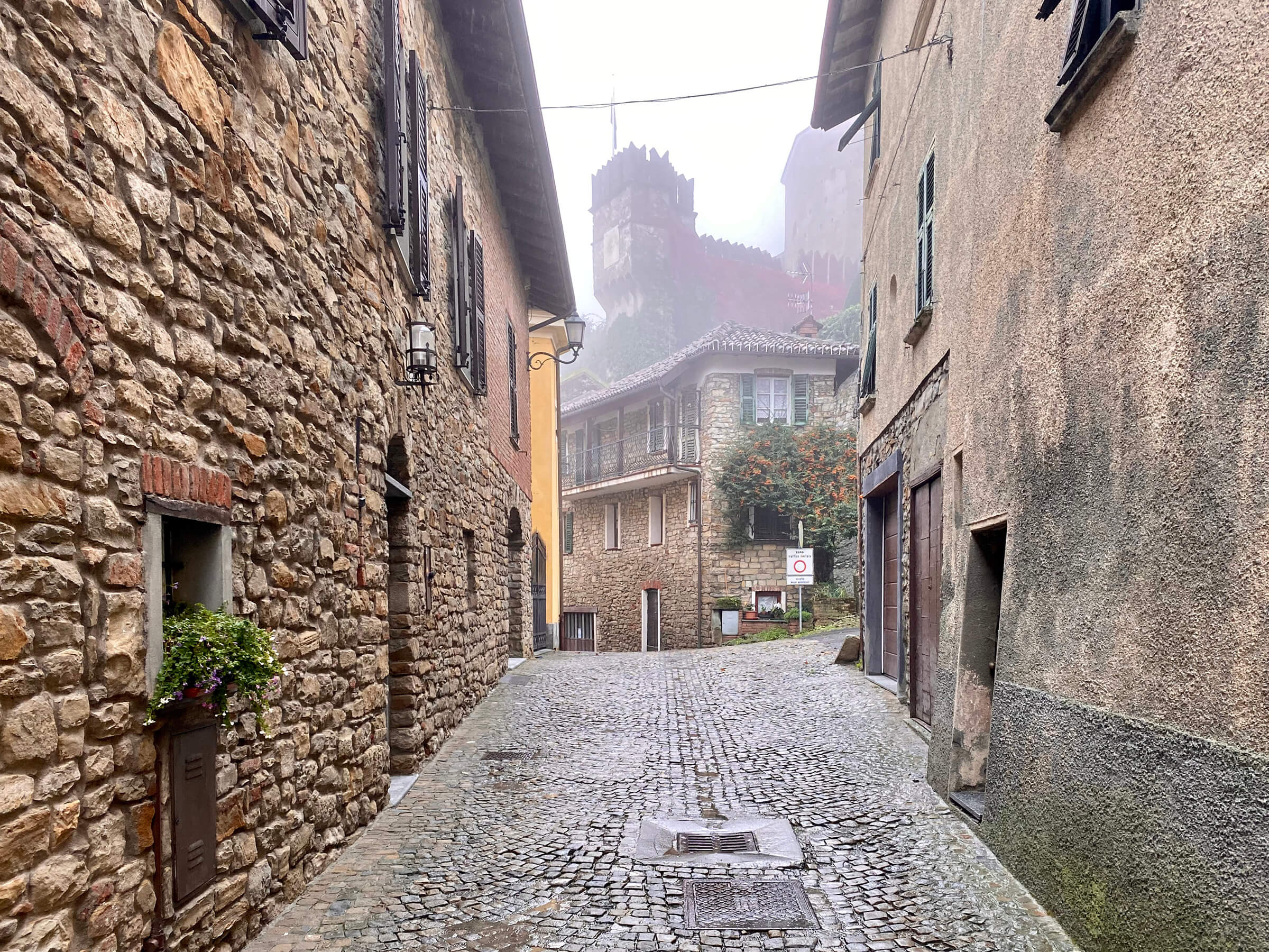
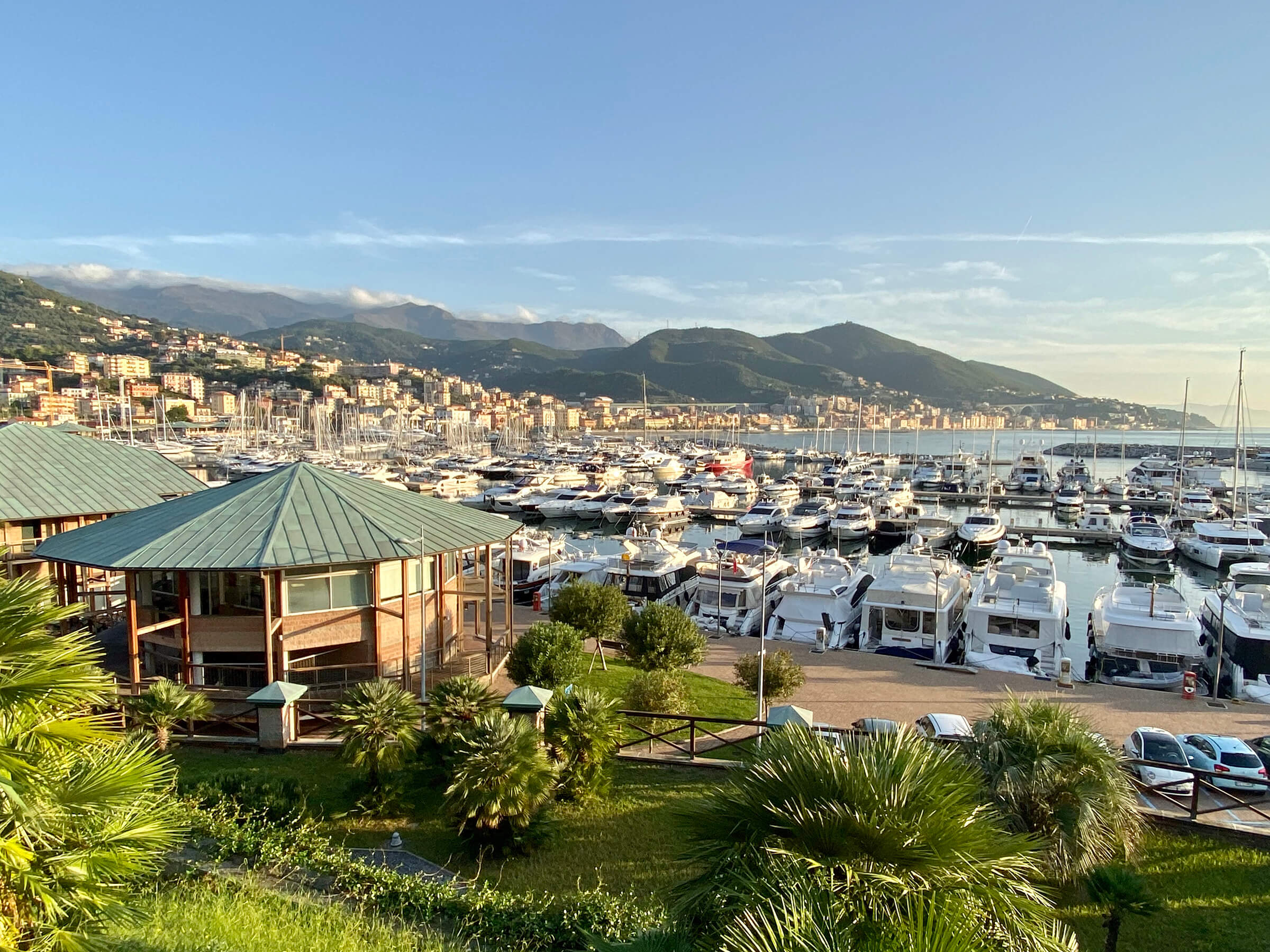
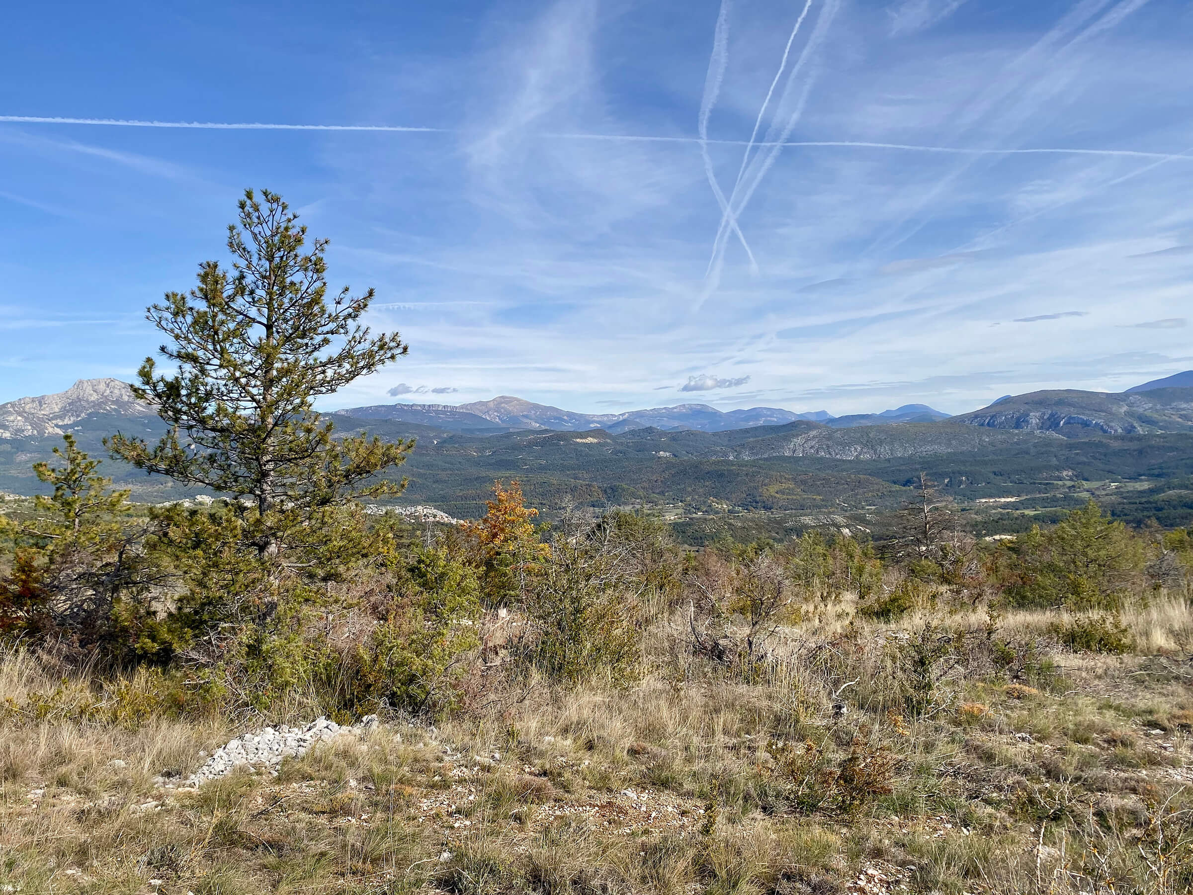
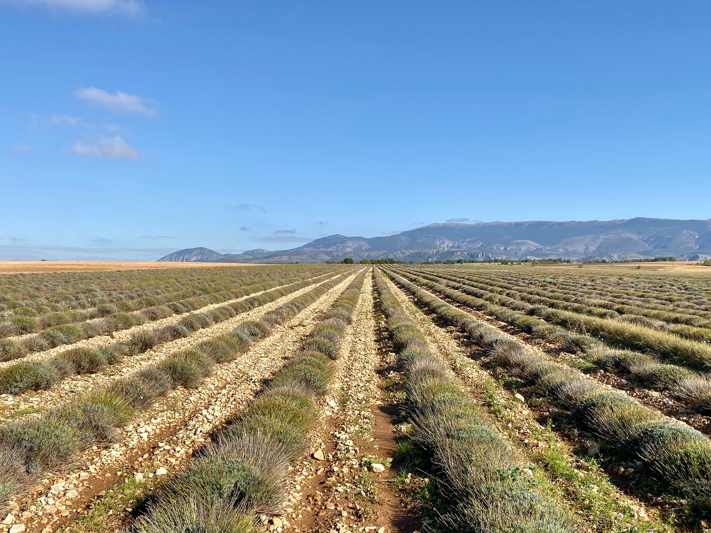
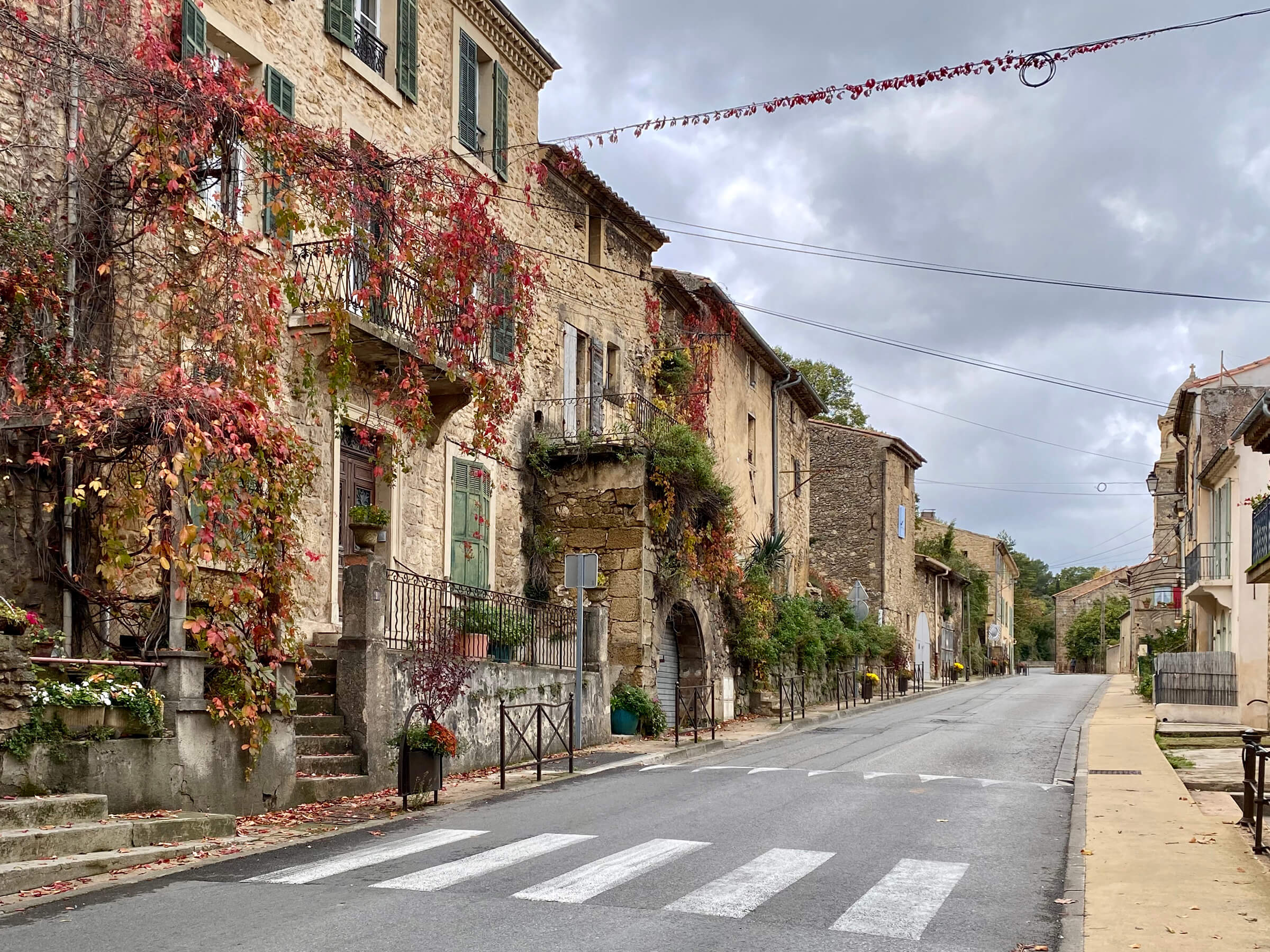
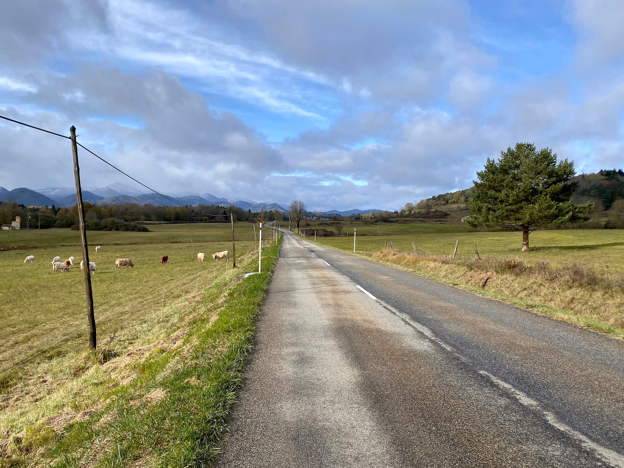
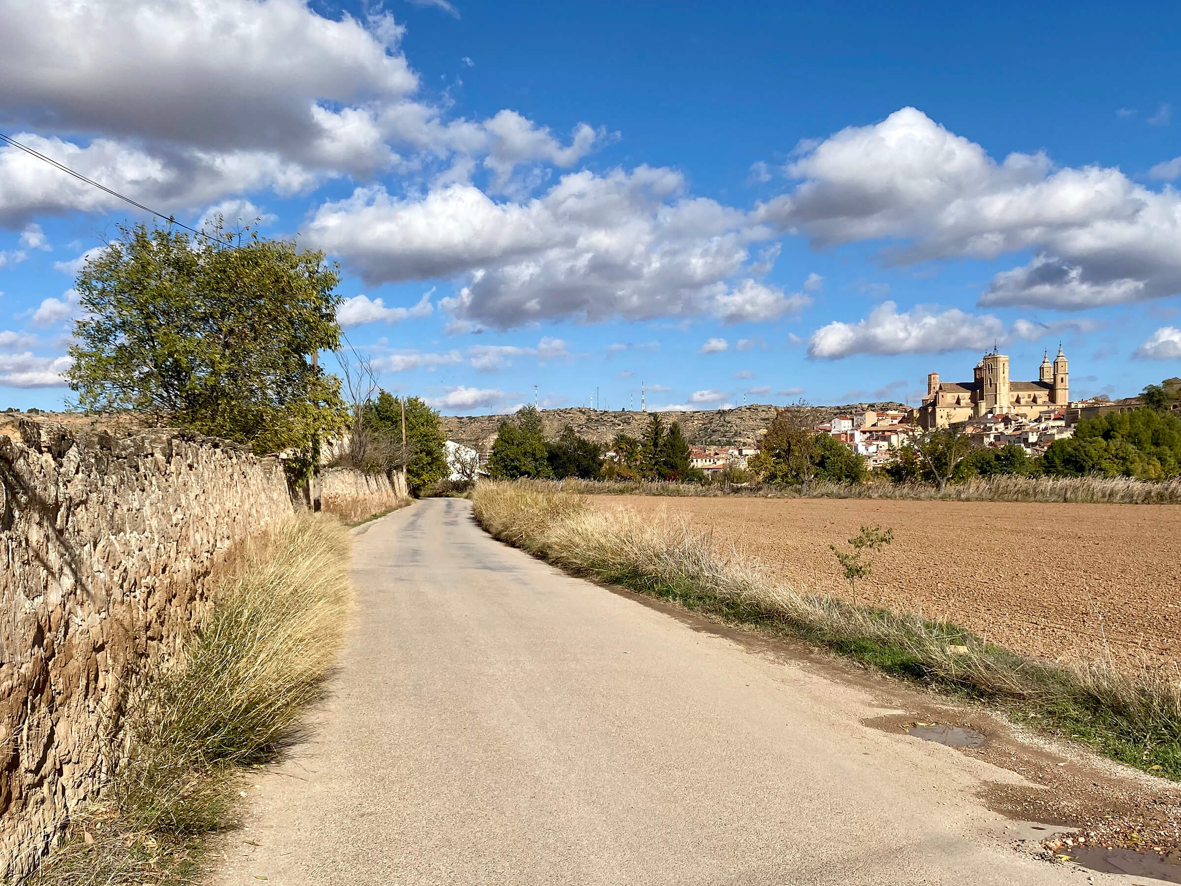
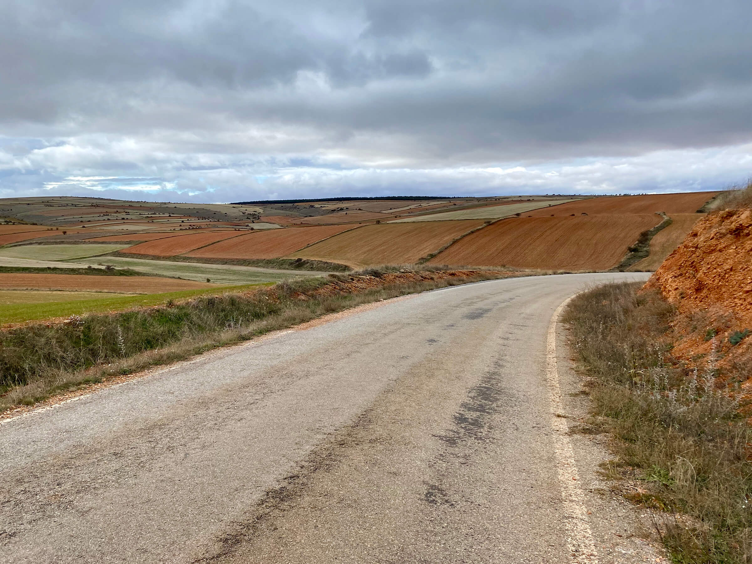
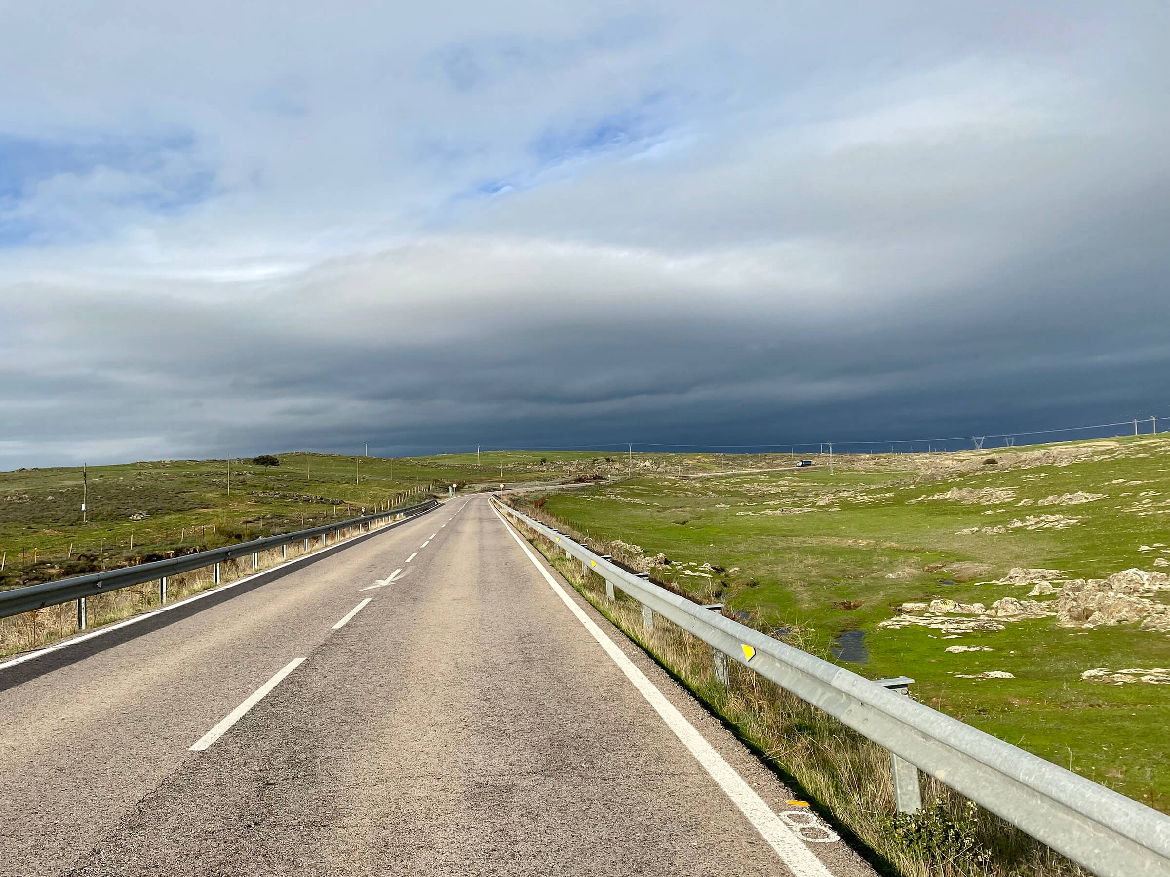
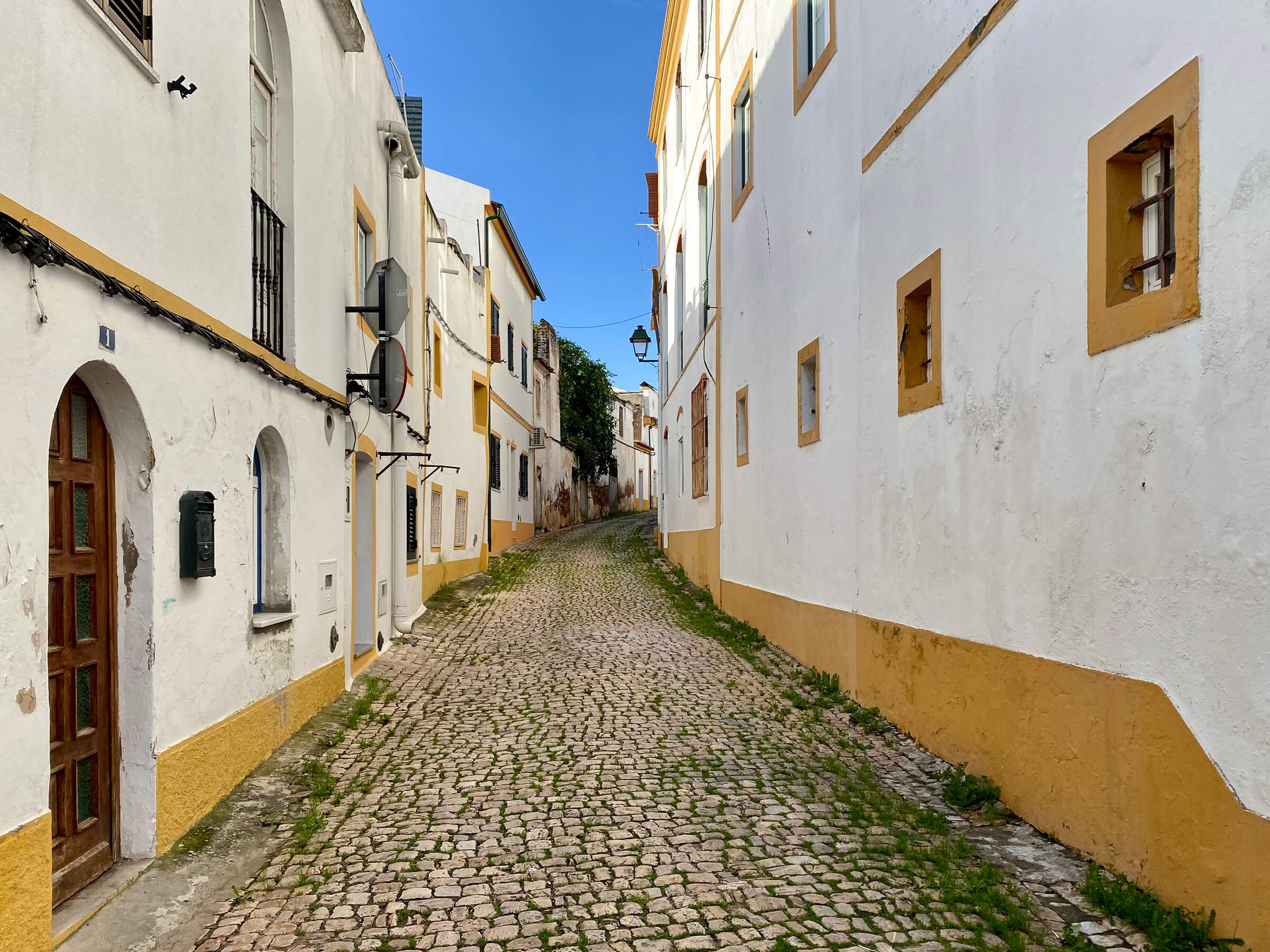
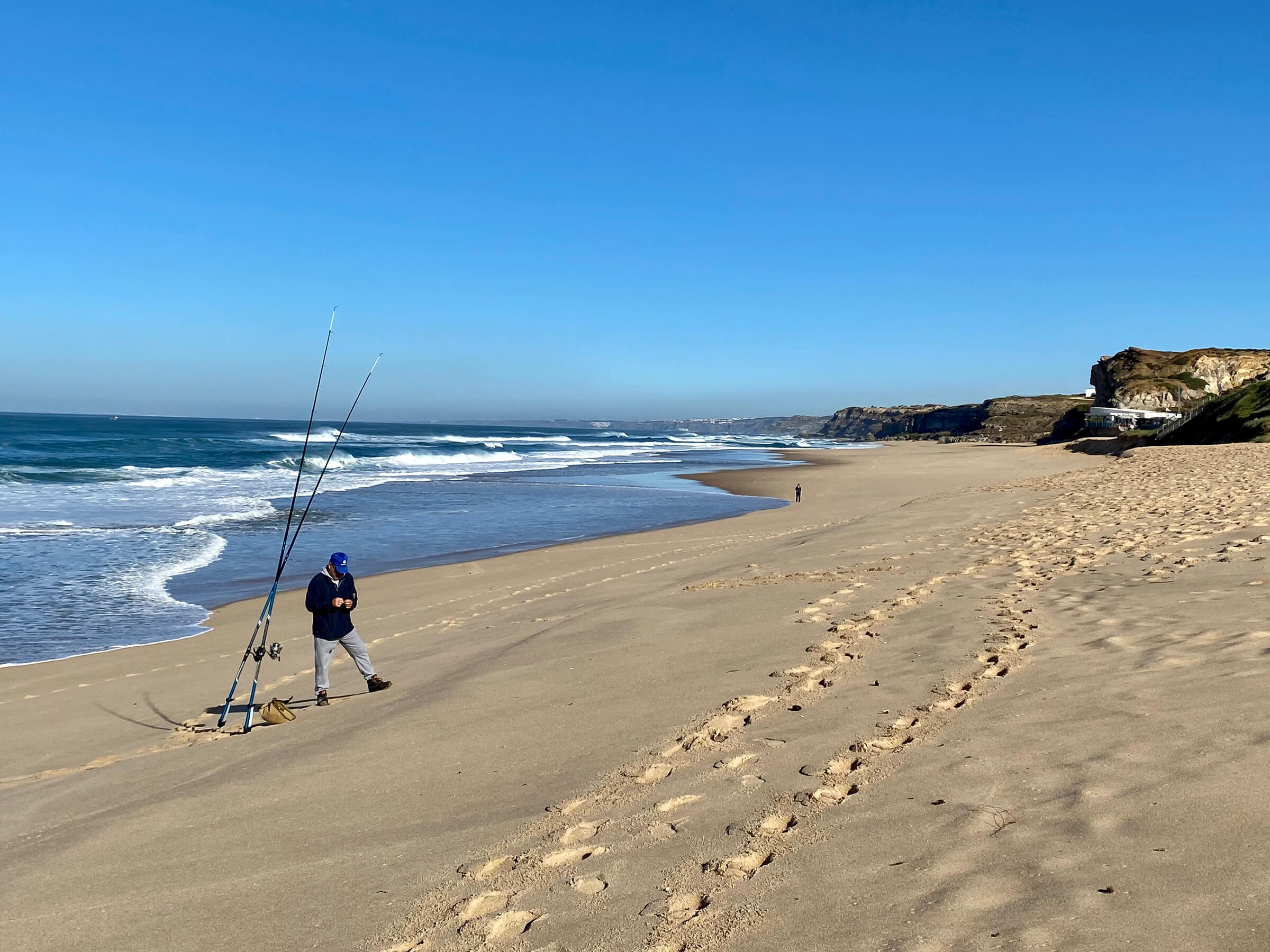
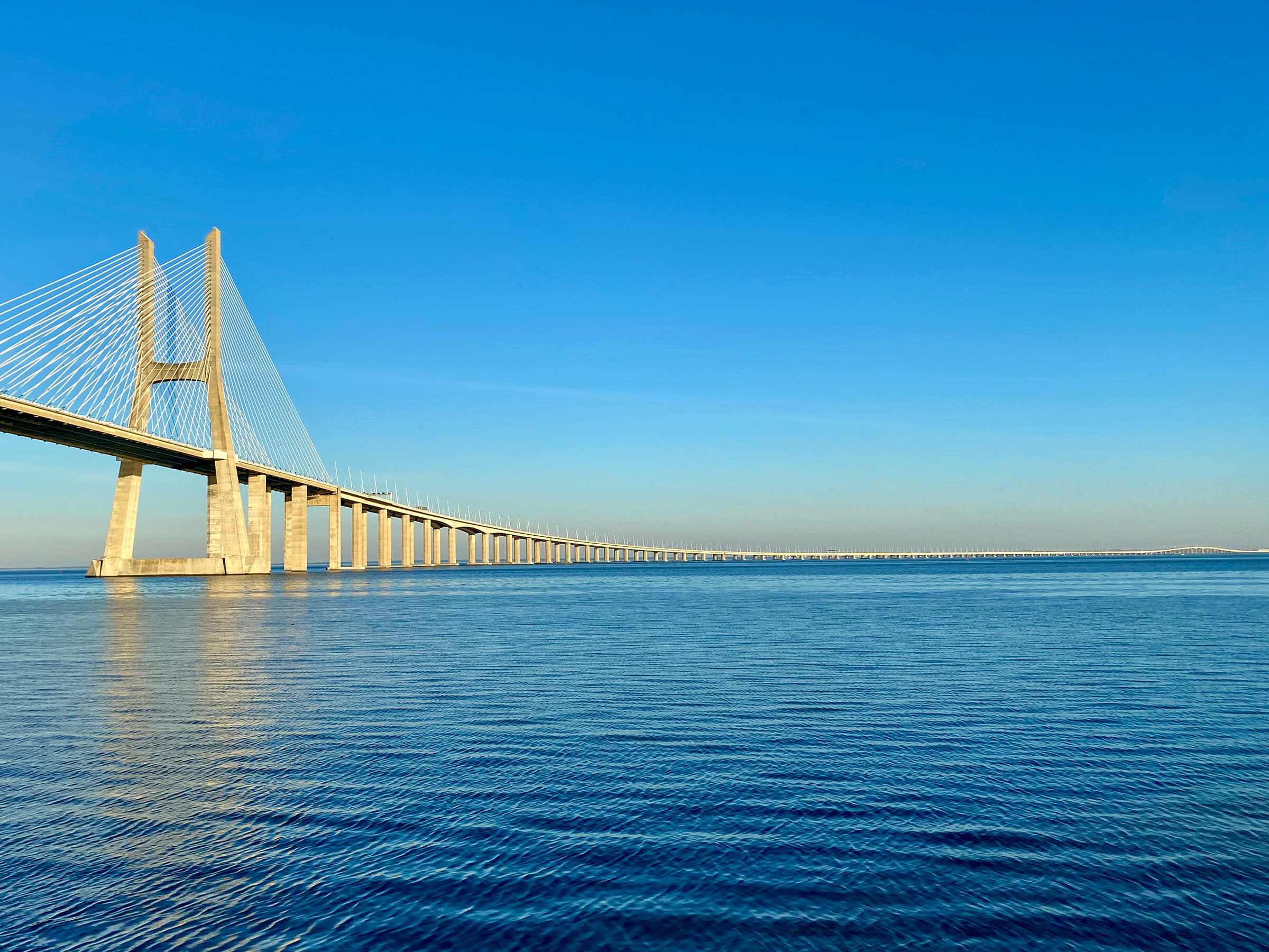
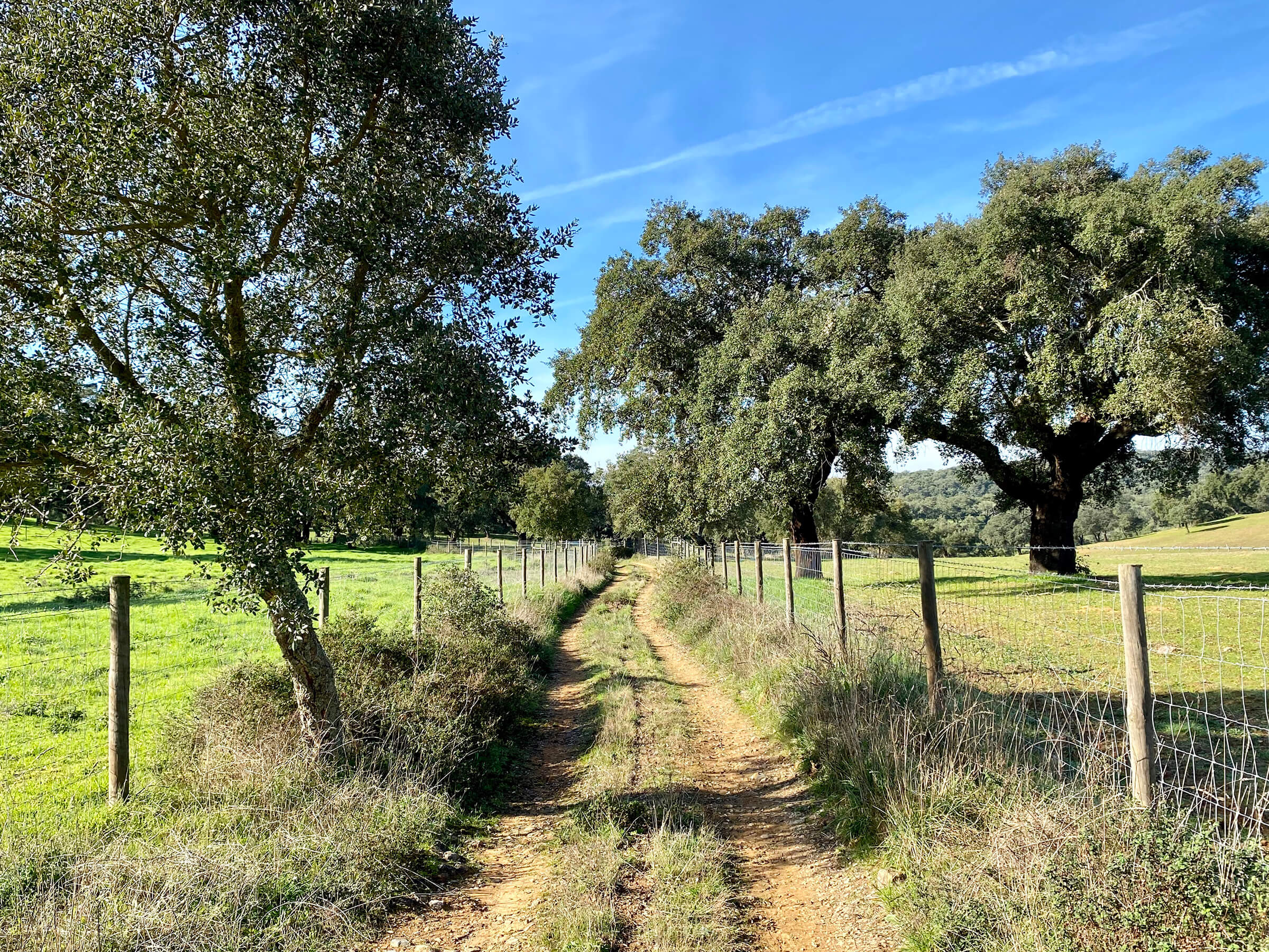
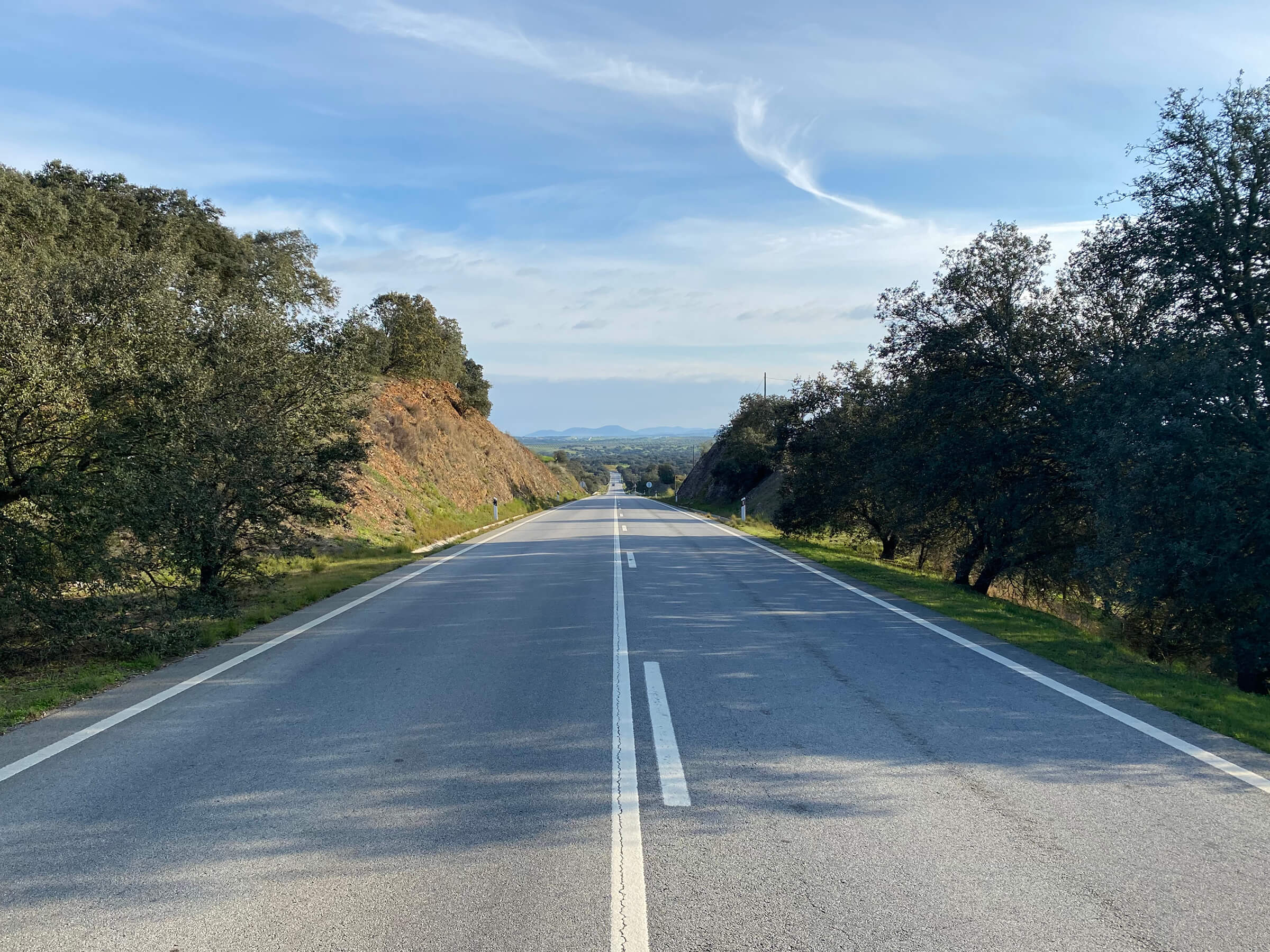
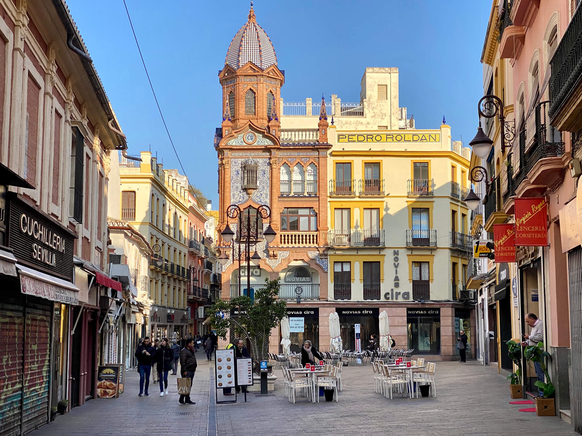
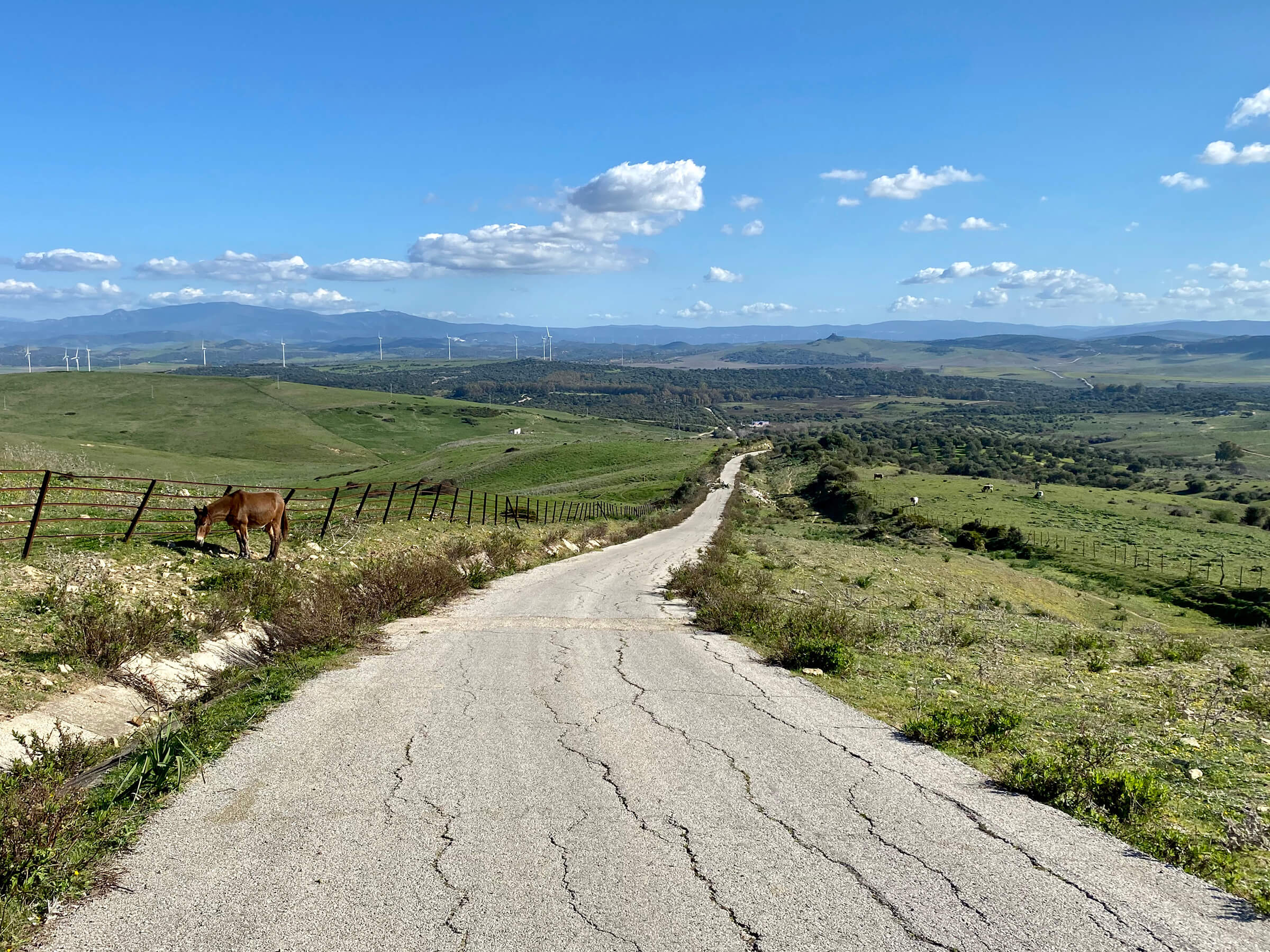
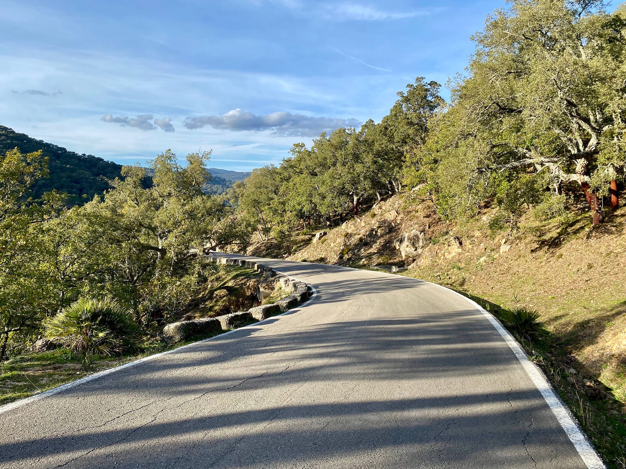
Europe
2,405 miles · 107 days

View Route


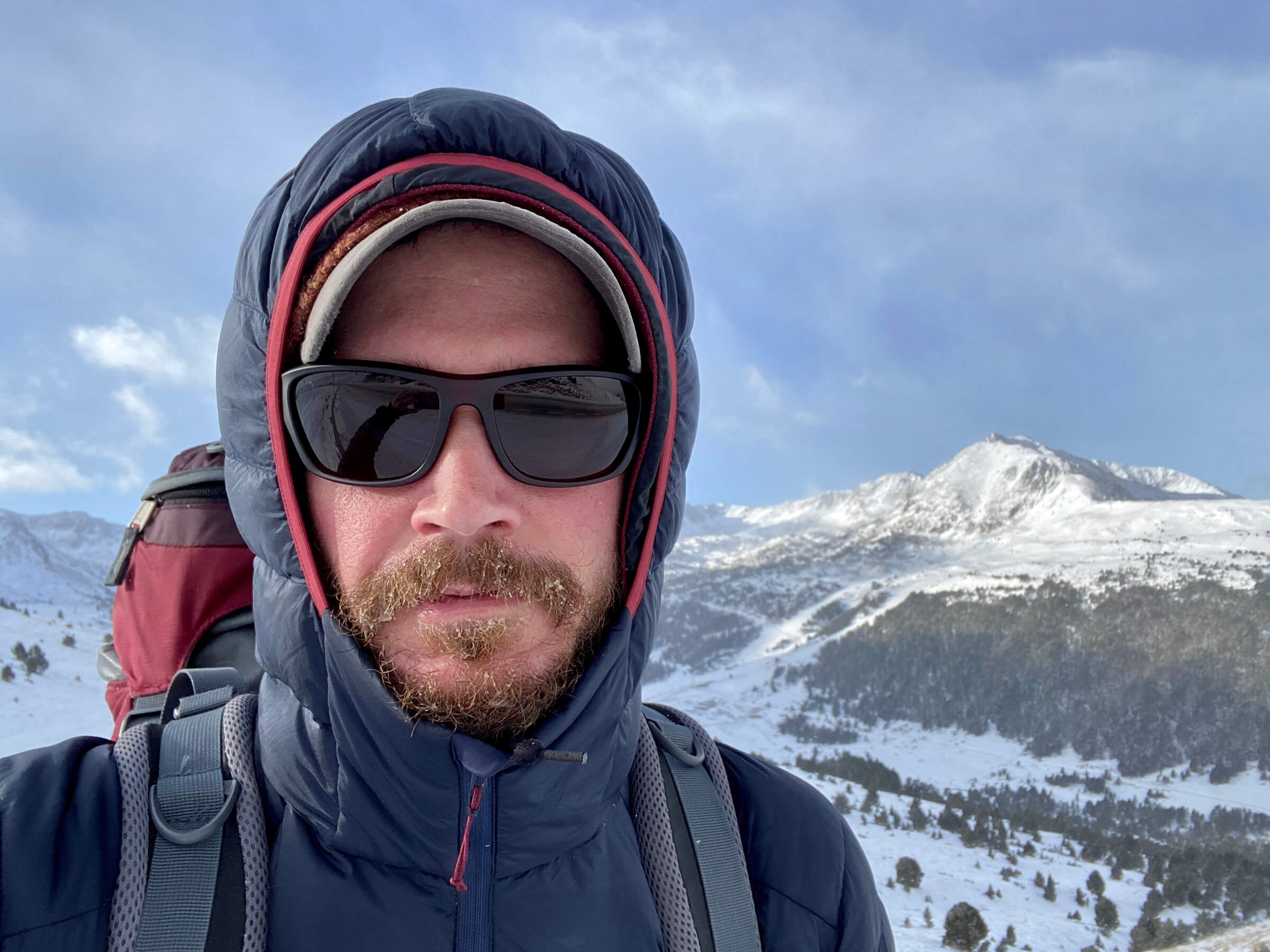
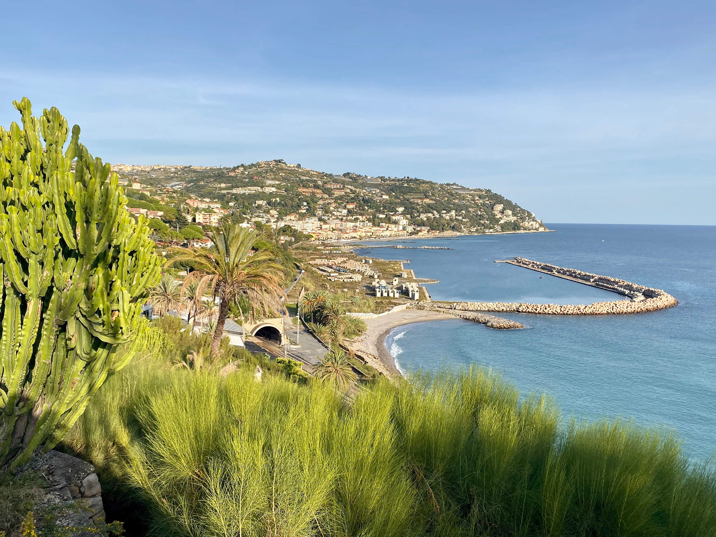
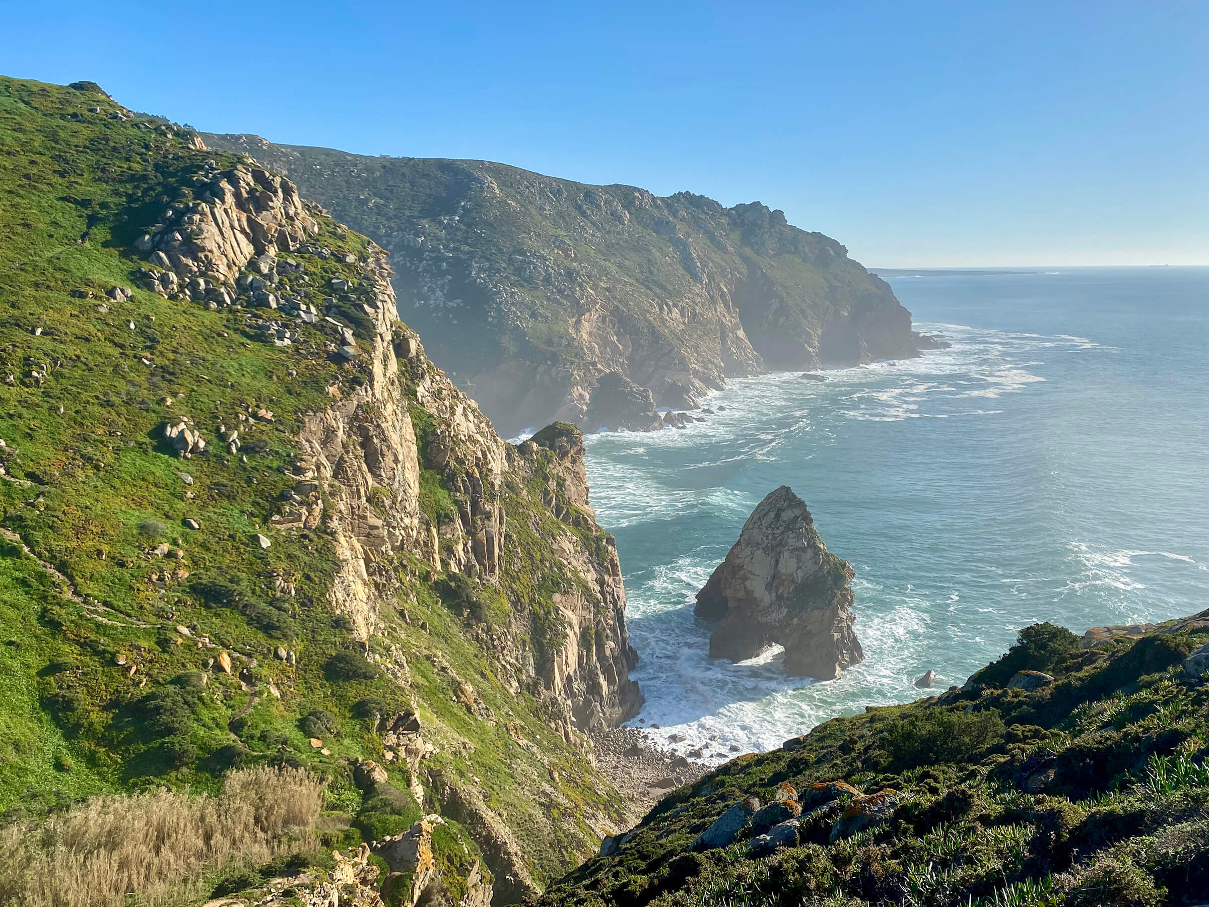
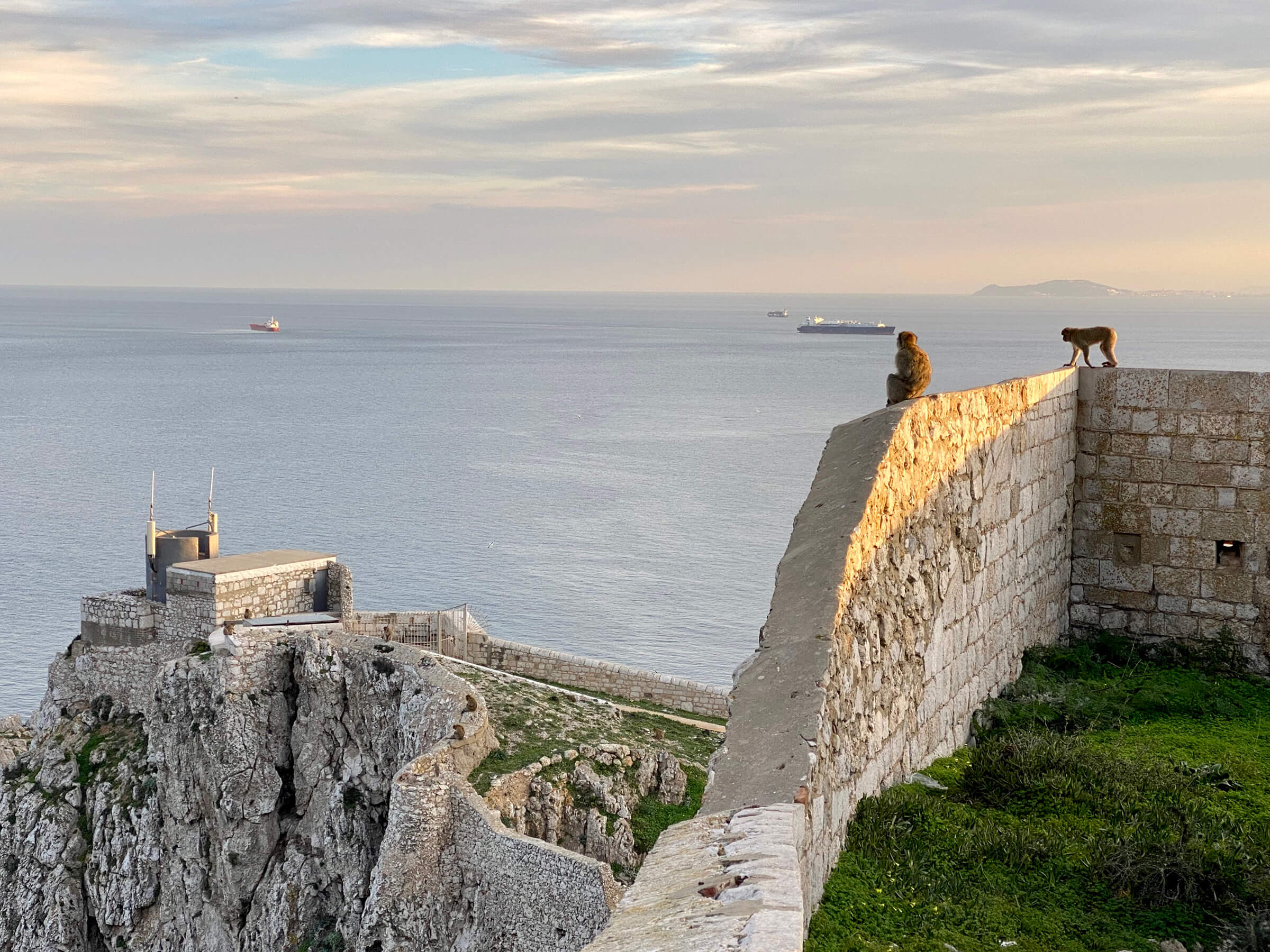
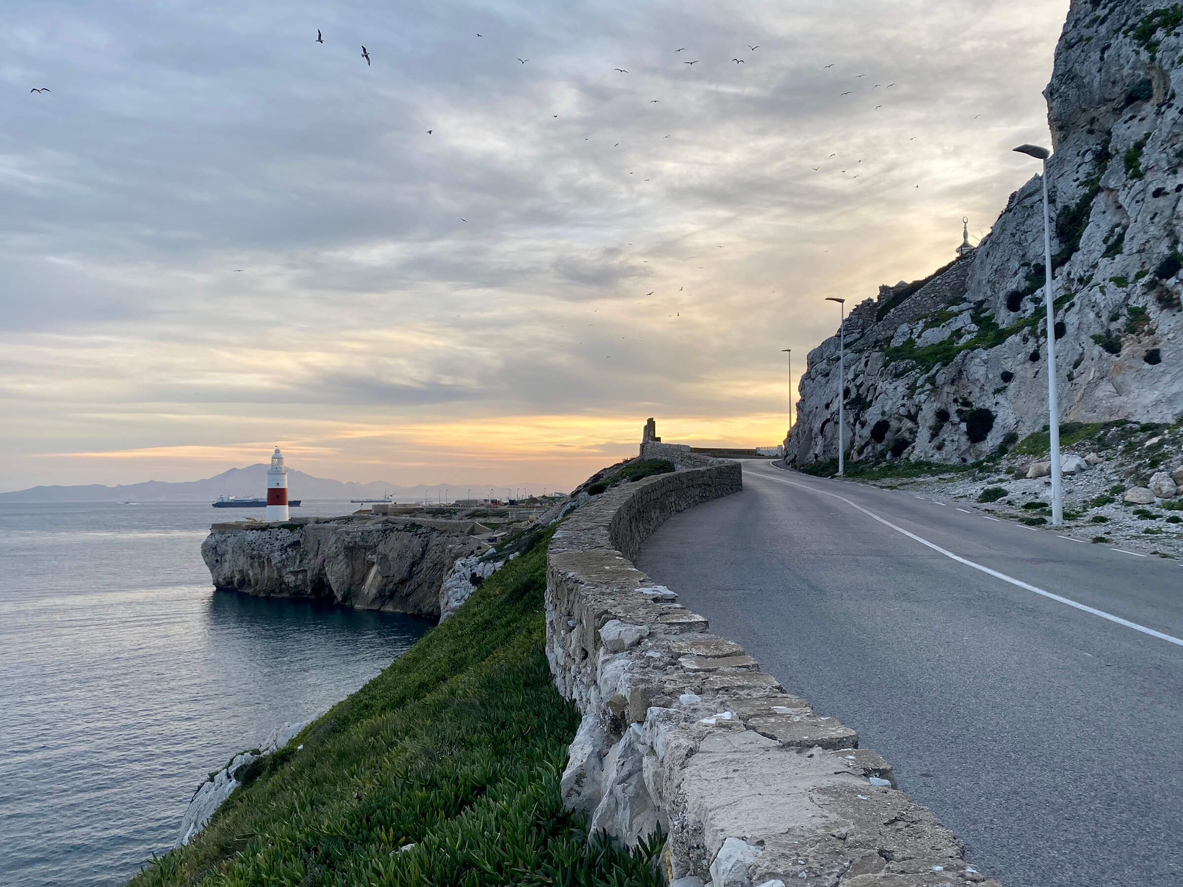
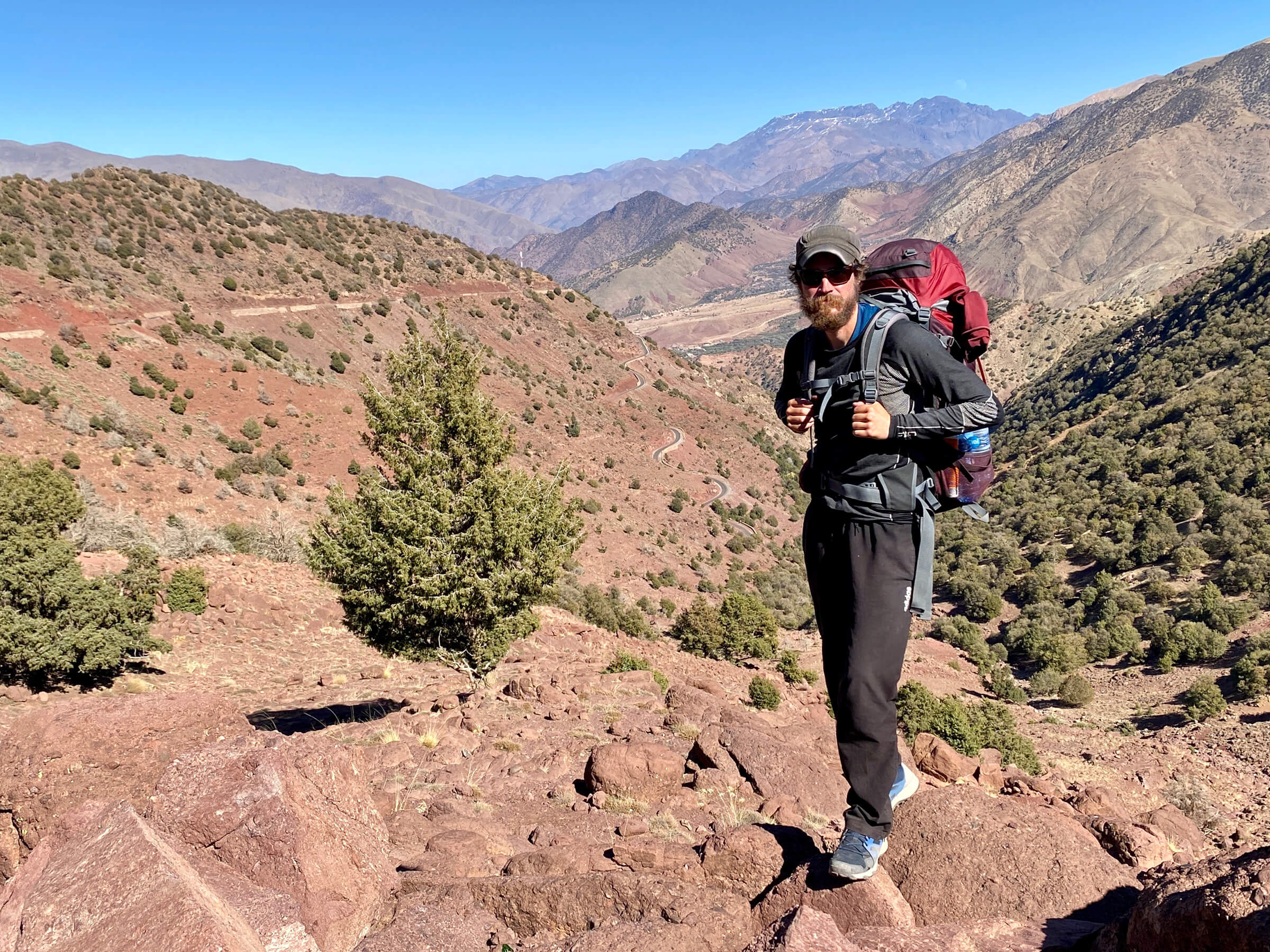
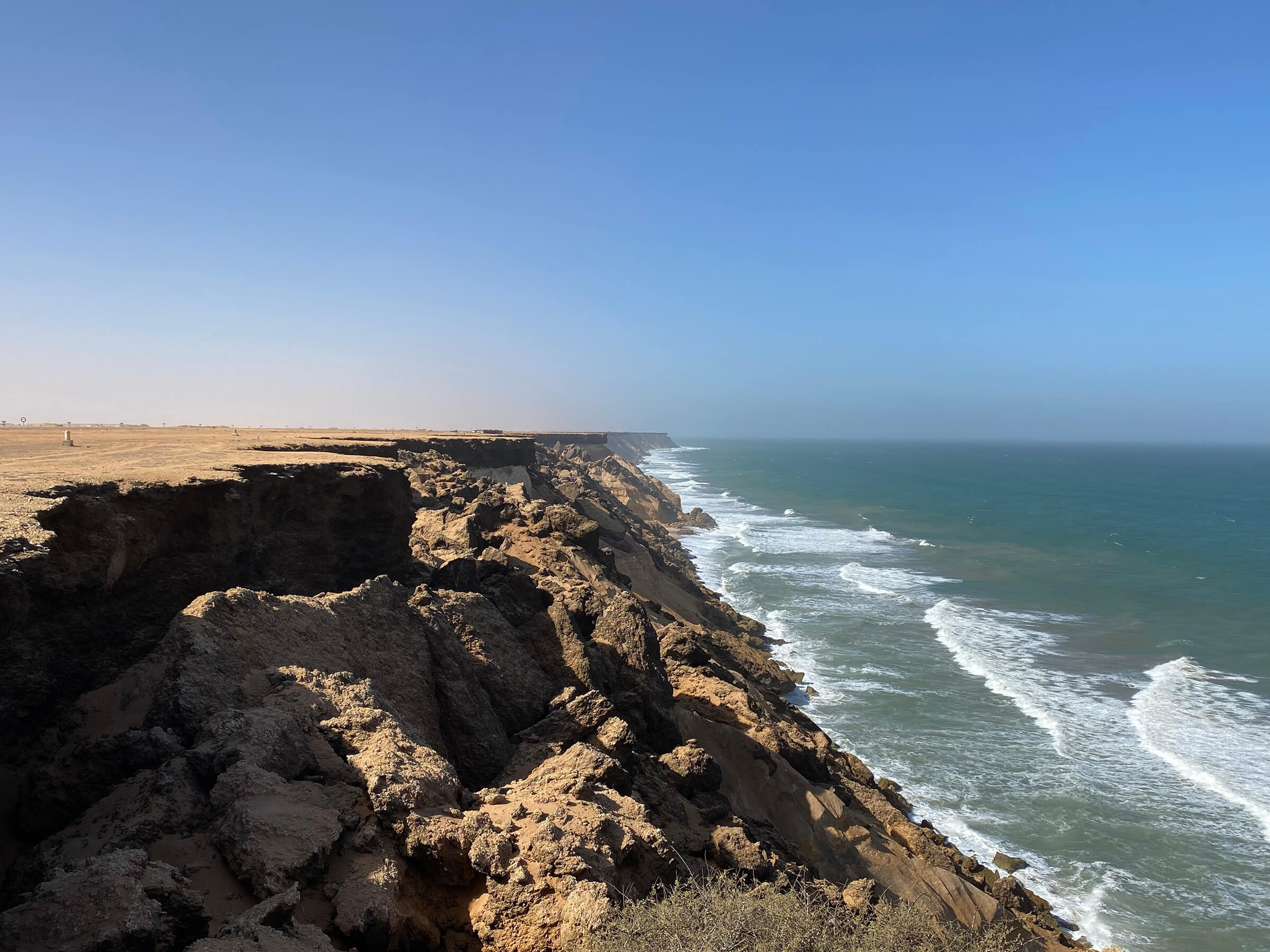
I reached my initial goal, the westernmost point of mainland Europe, after nearly 3 months of walking. Making it this far fueled my ambition to continue the journey. Next up: Crossing into Africa via Gibraltar.
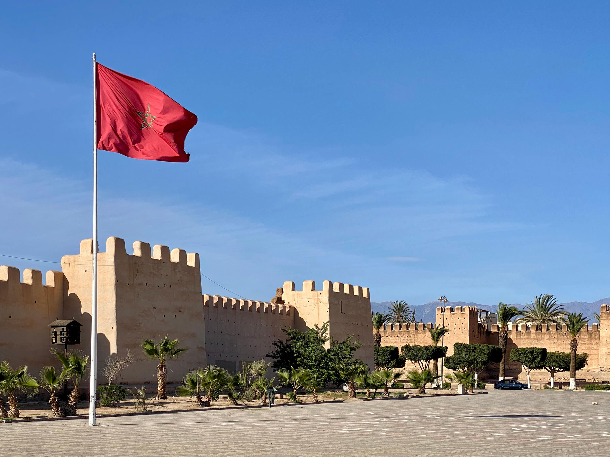
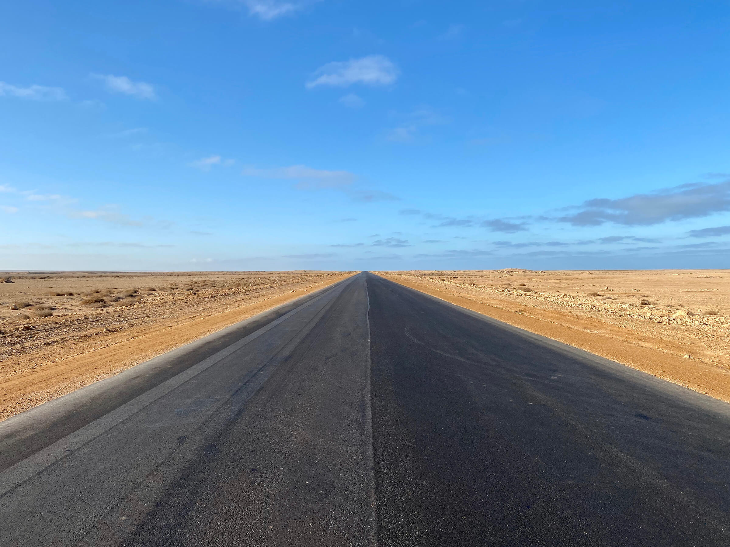
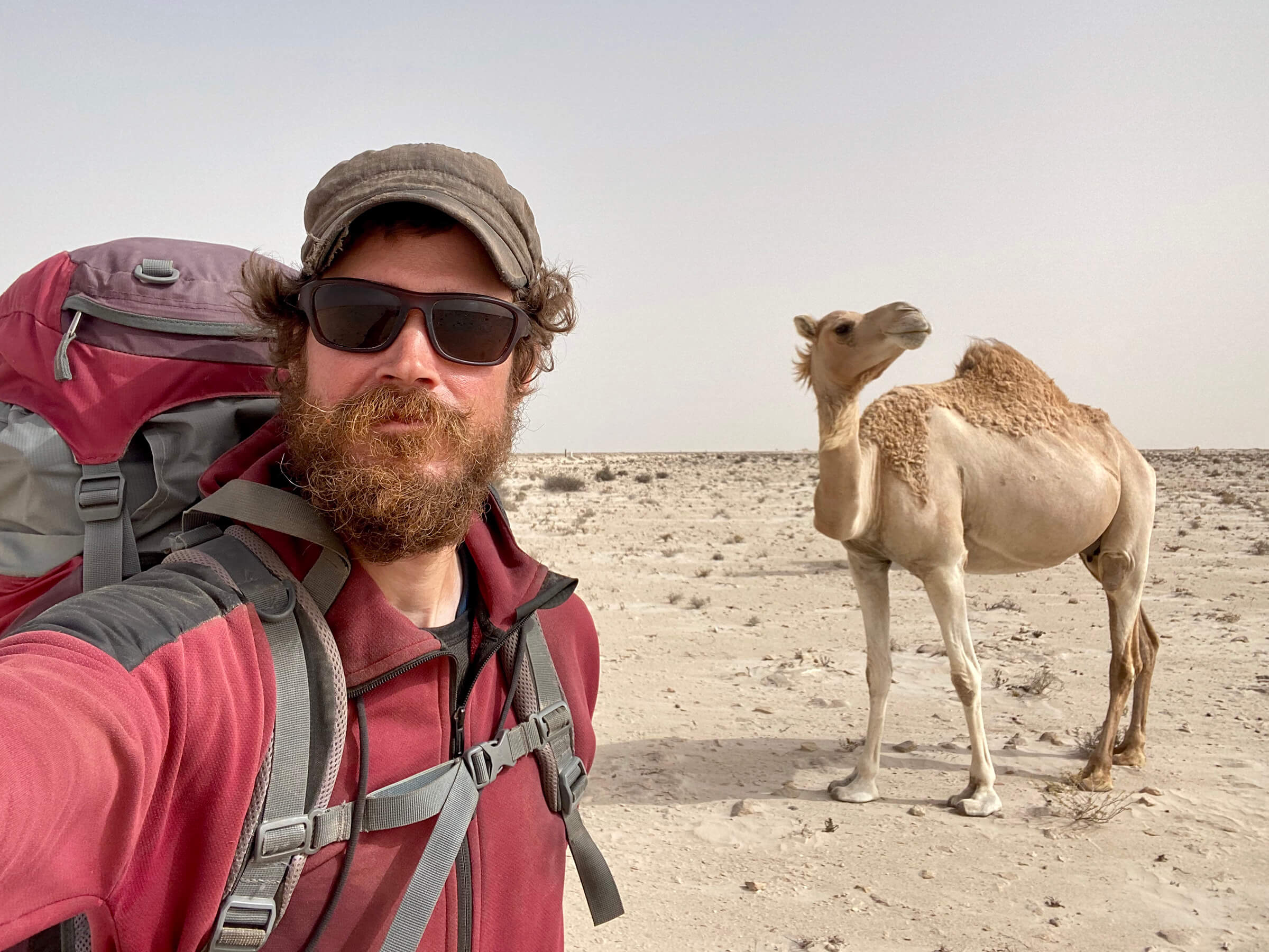
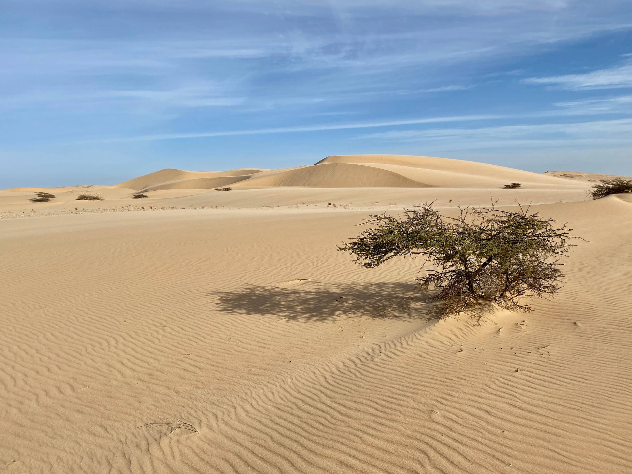
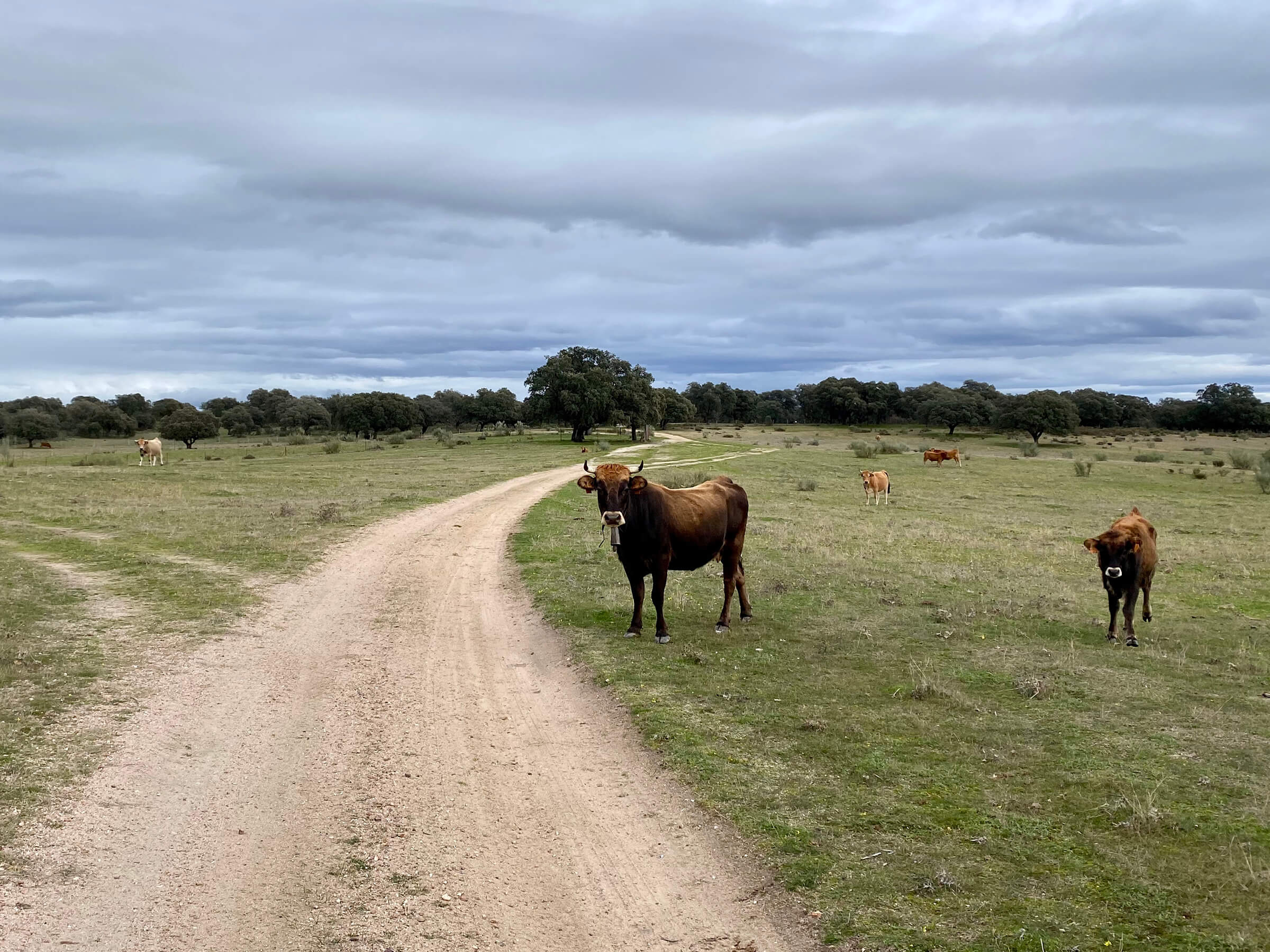
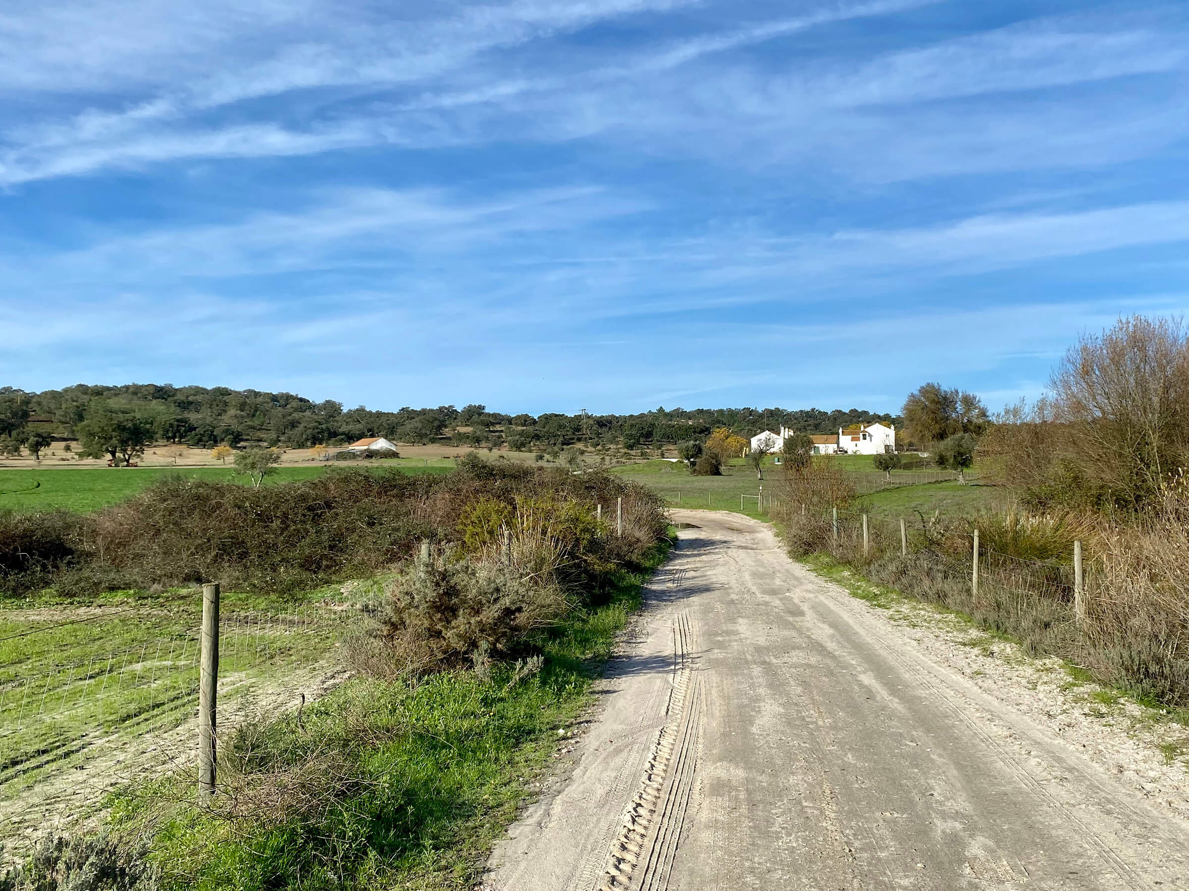
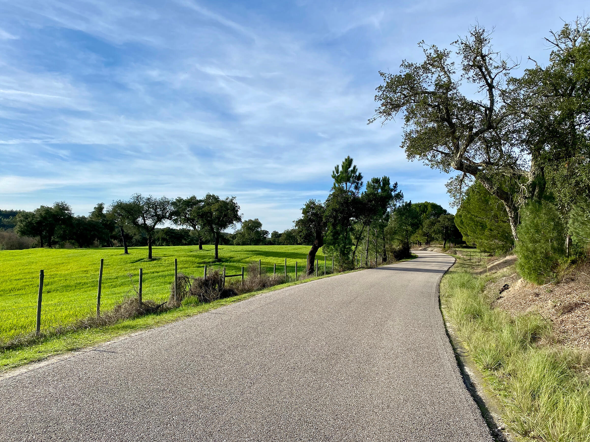
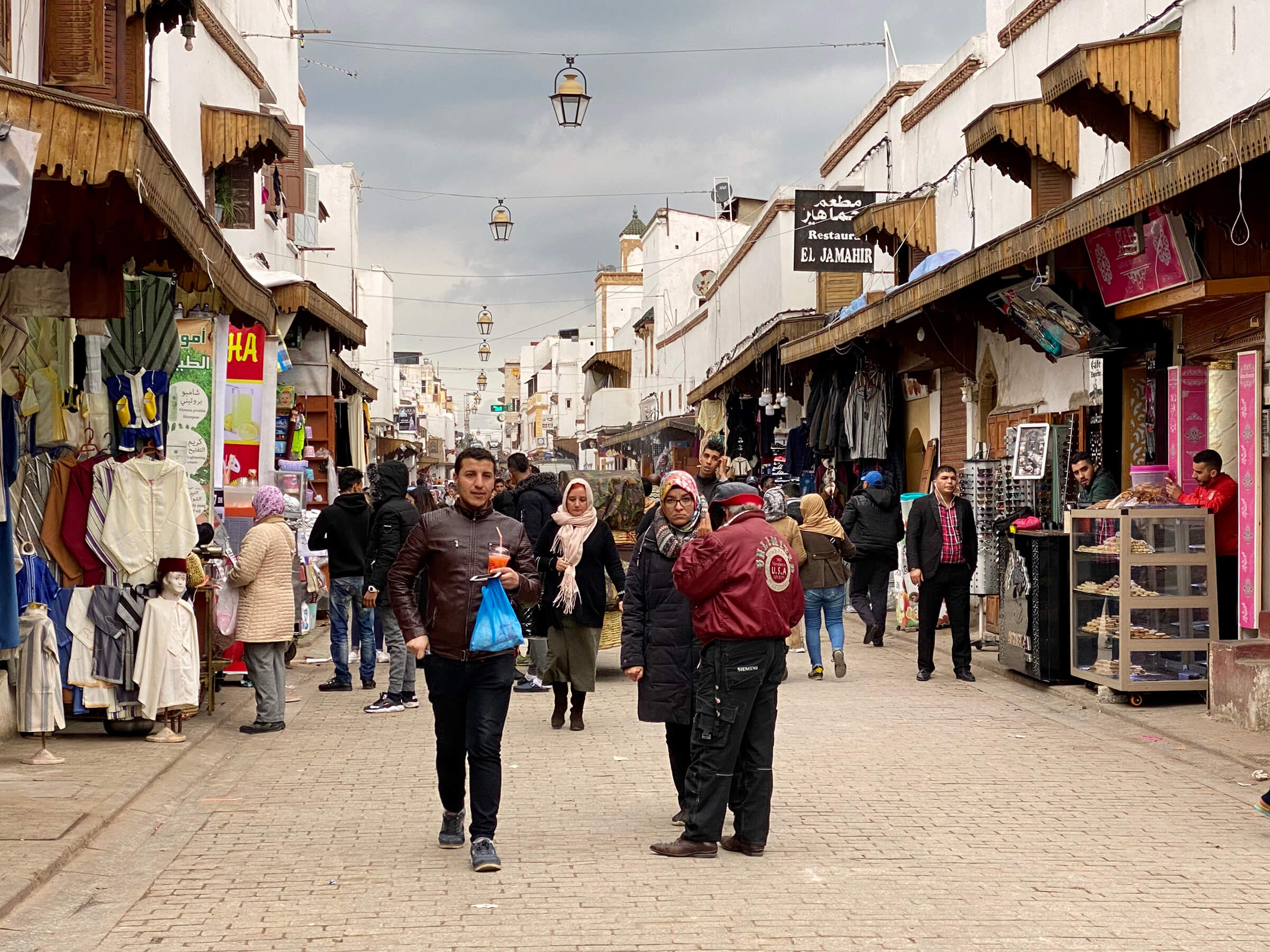
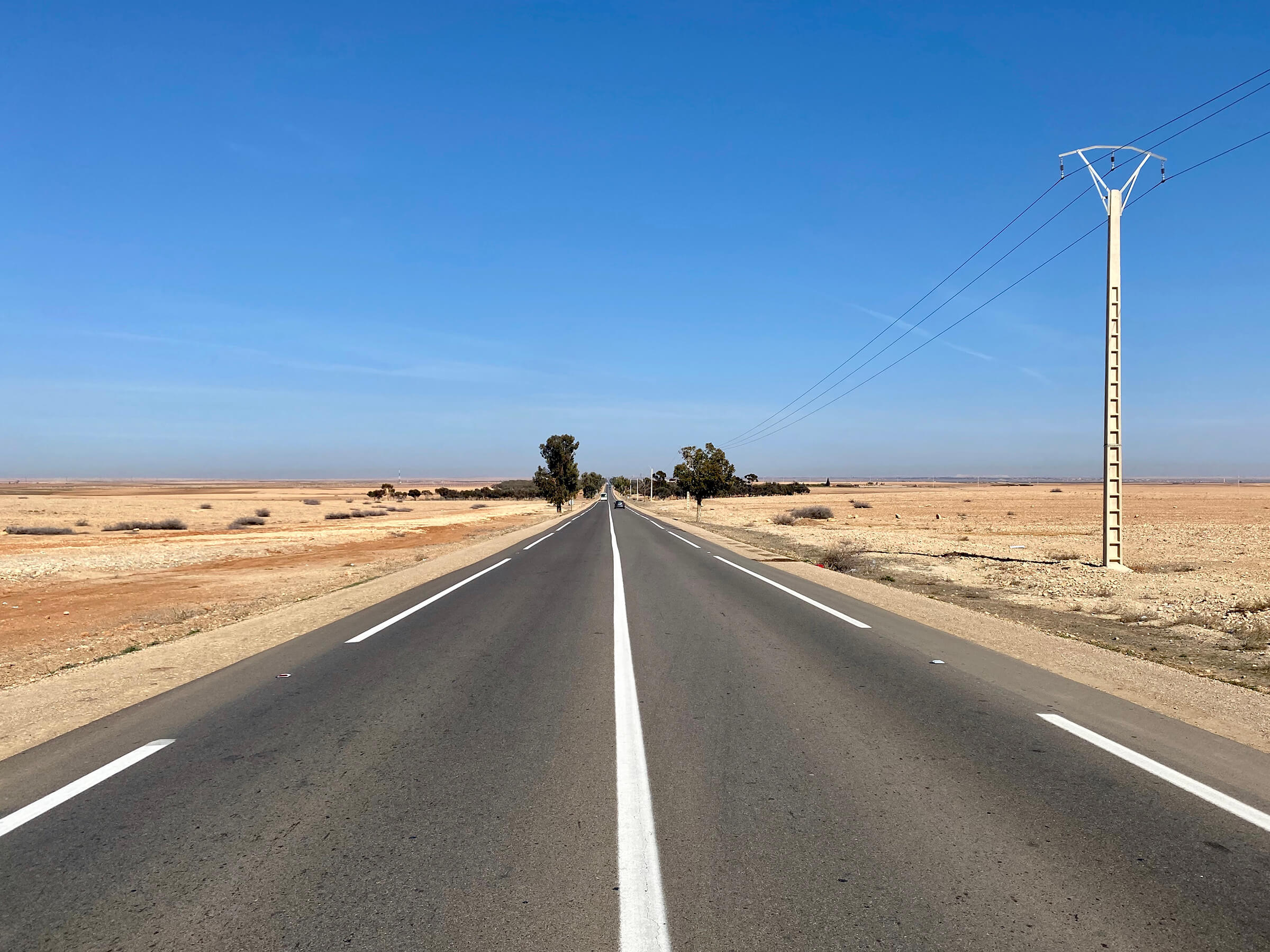
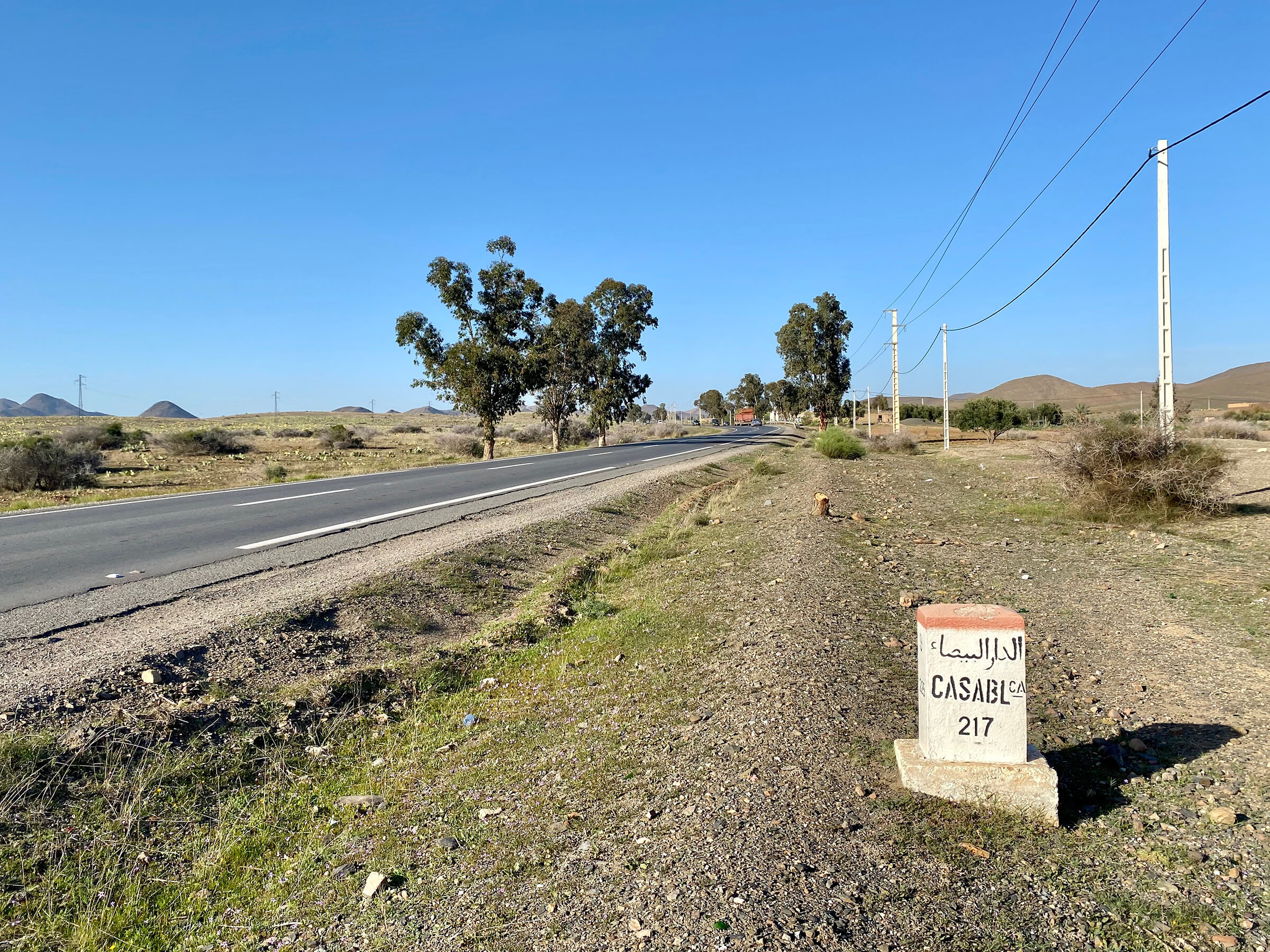
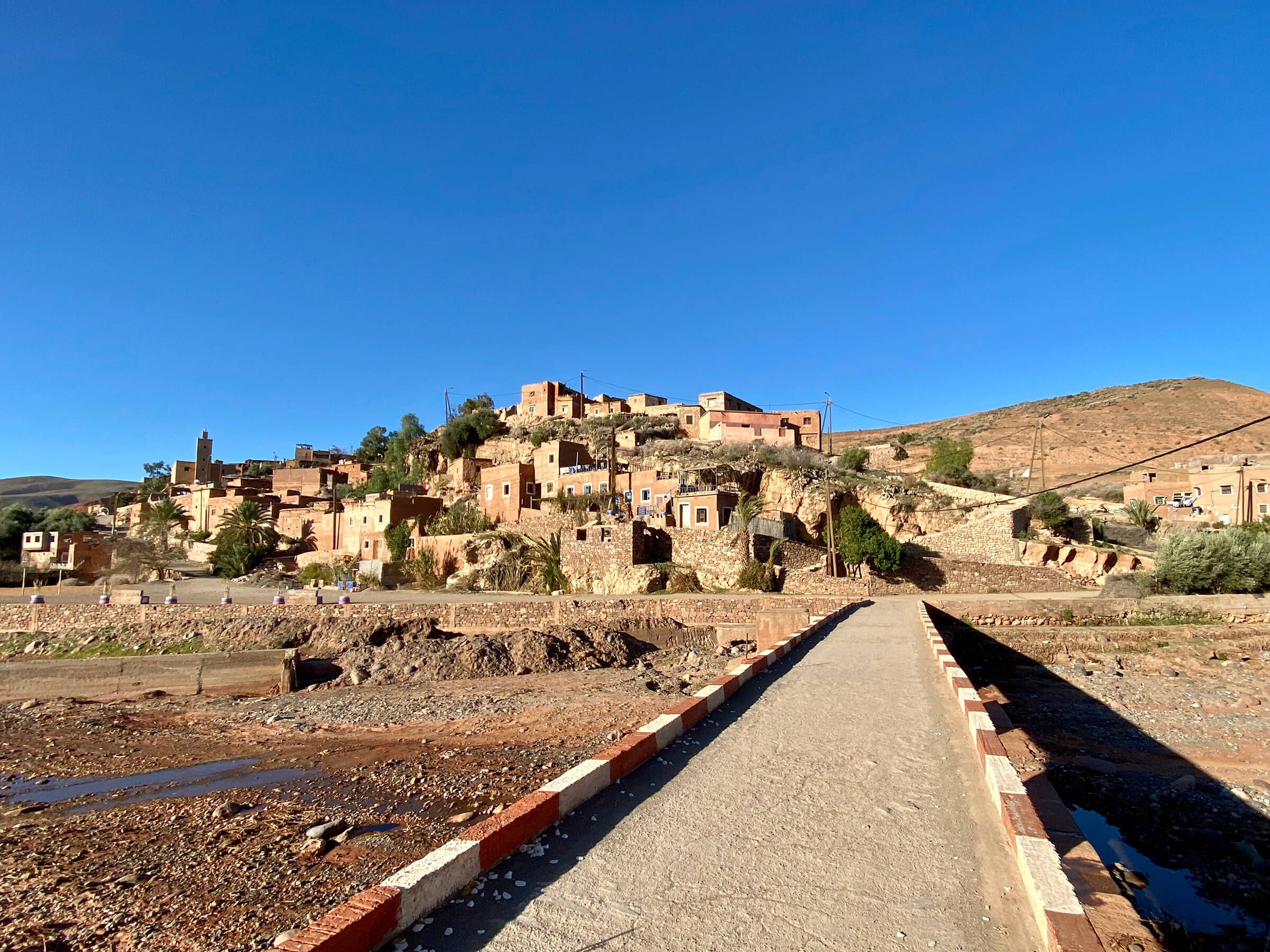
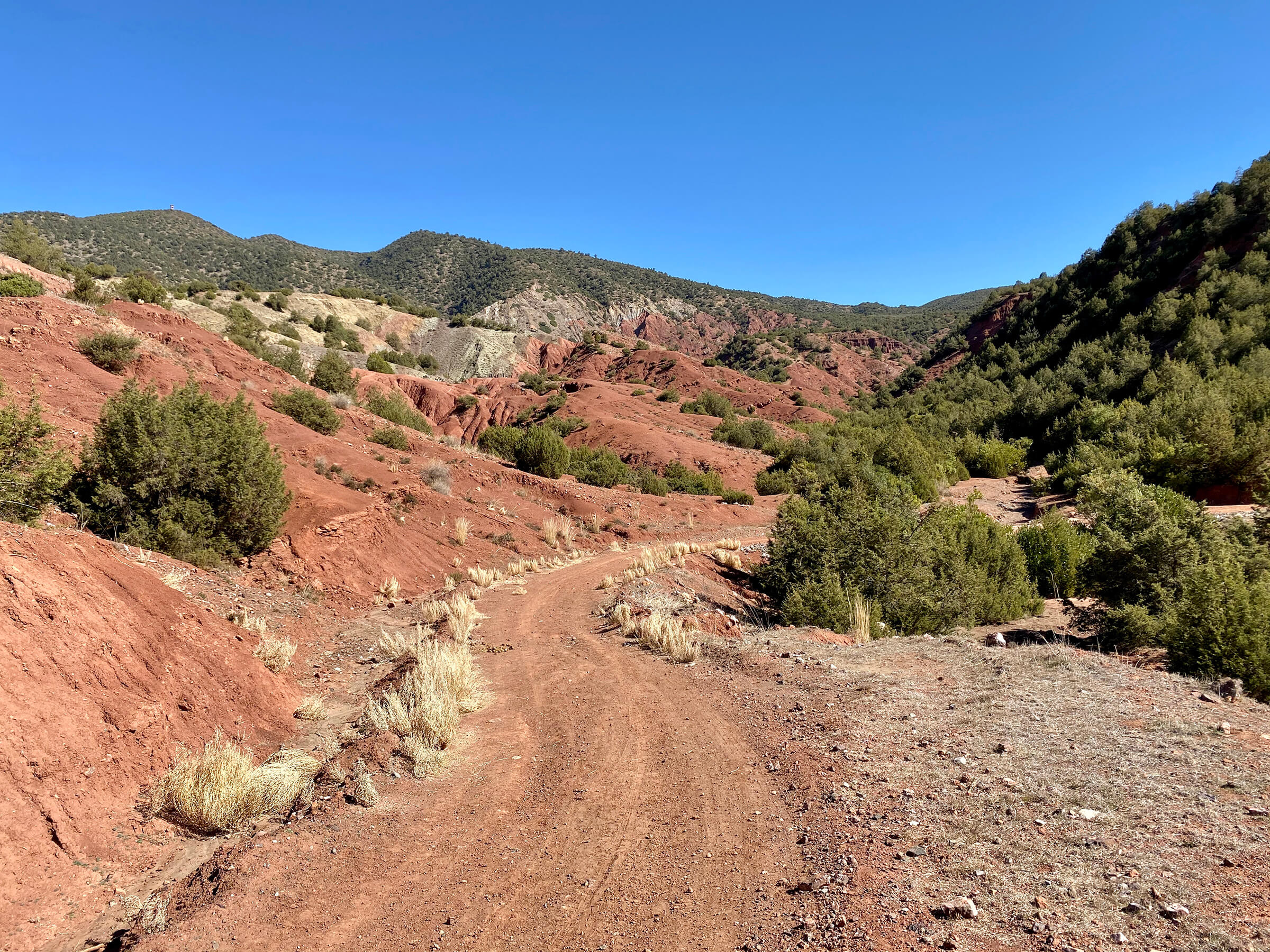
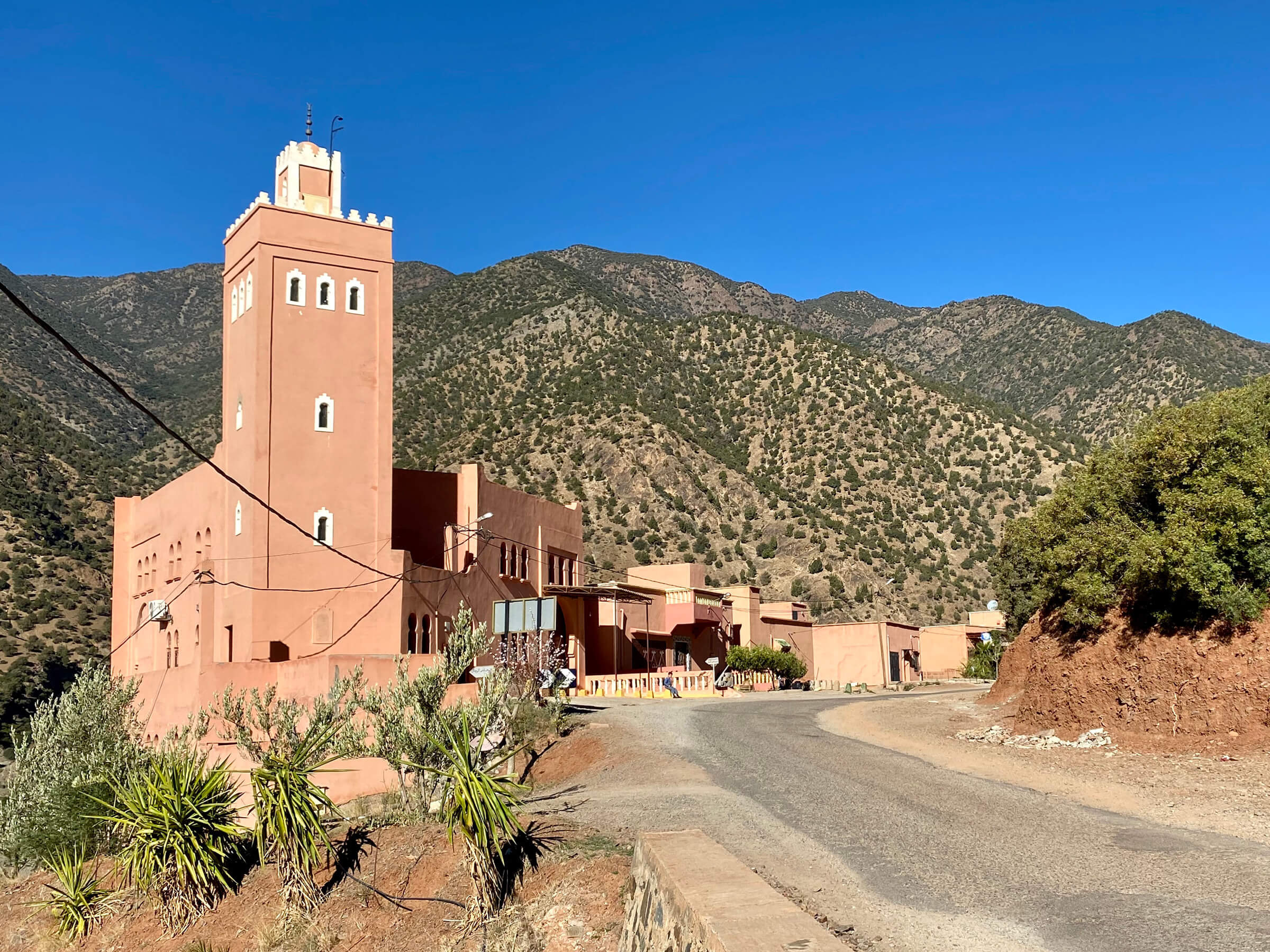
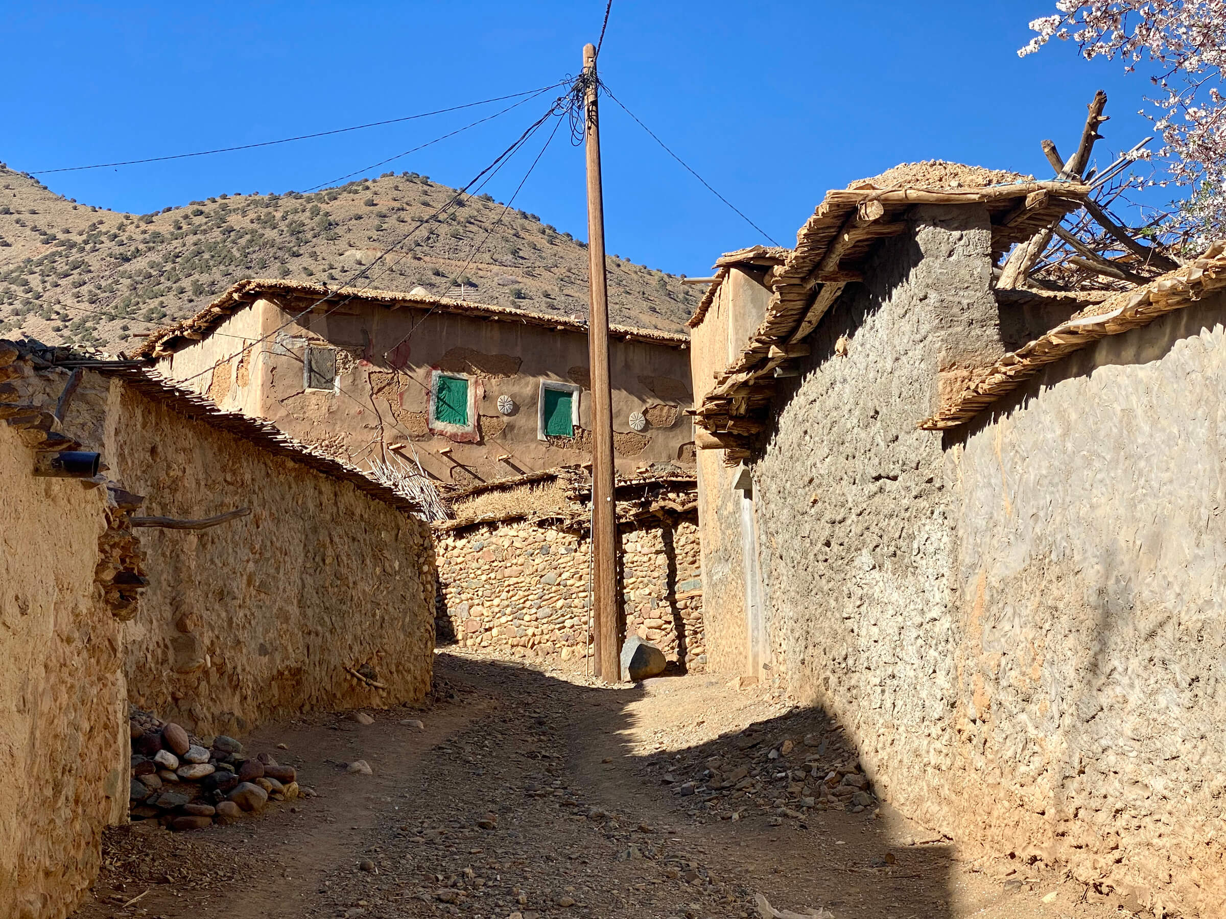
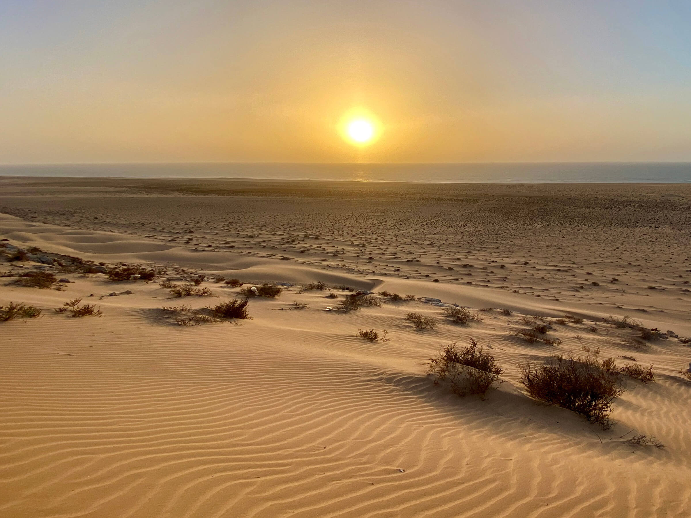
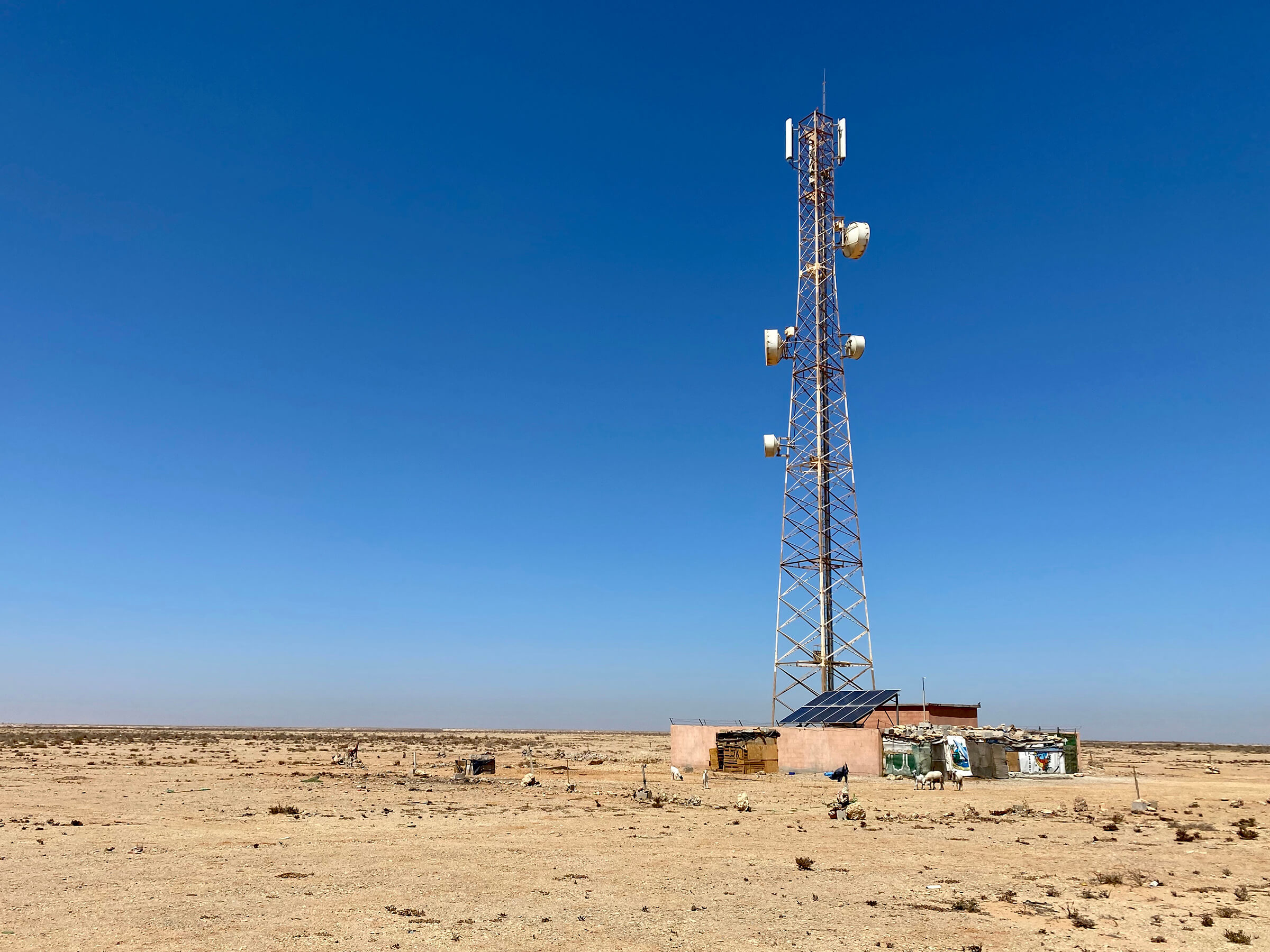
Africa
1,840 miles · 69 days

View Route
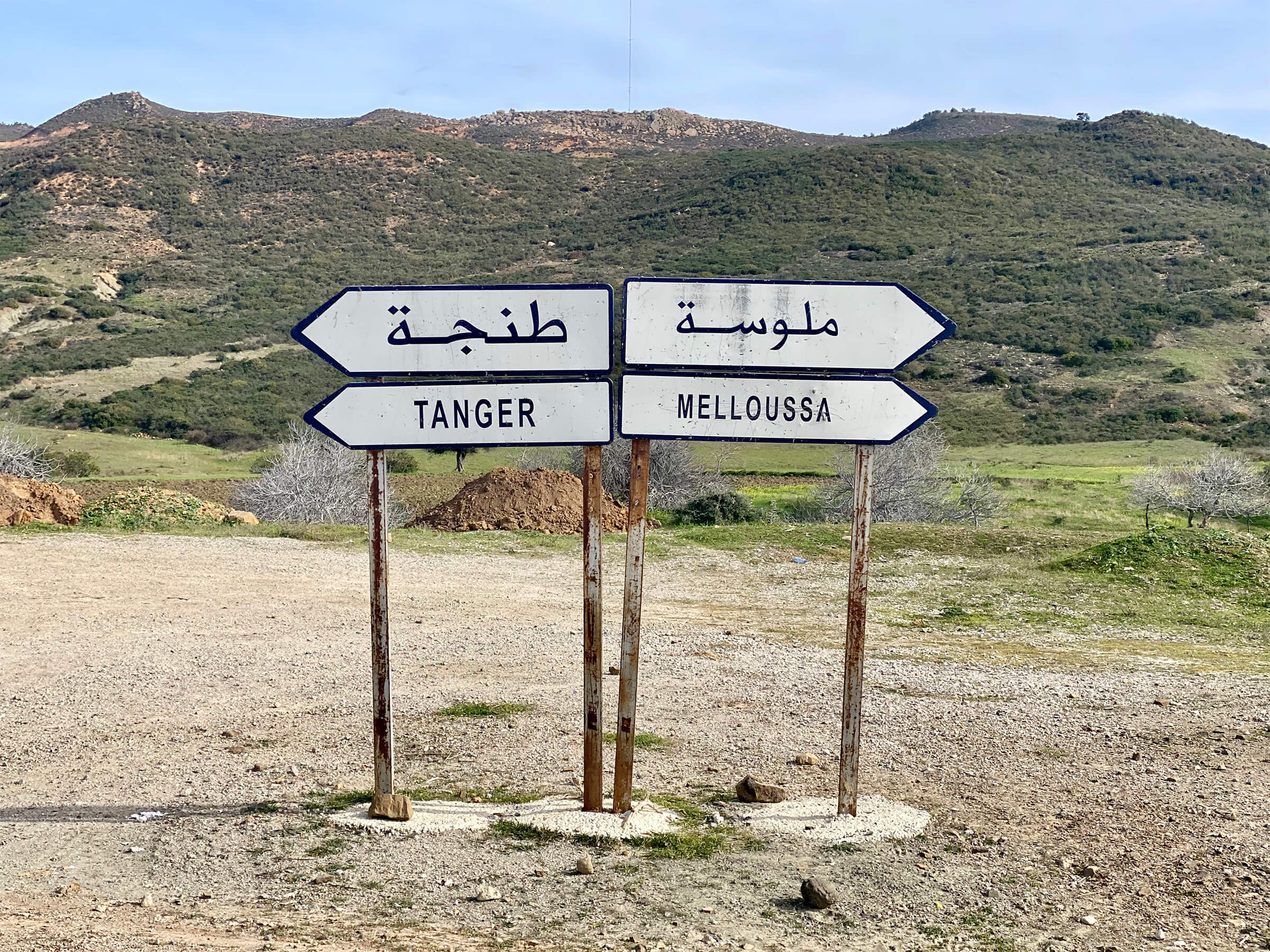
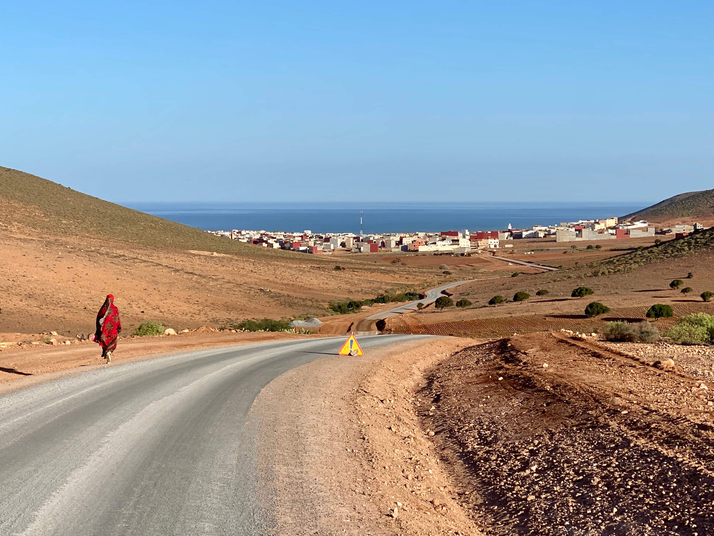
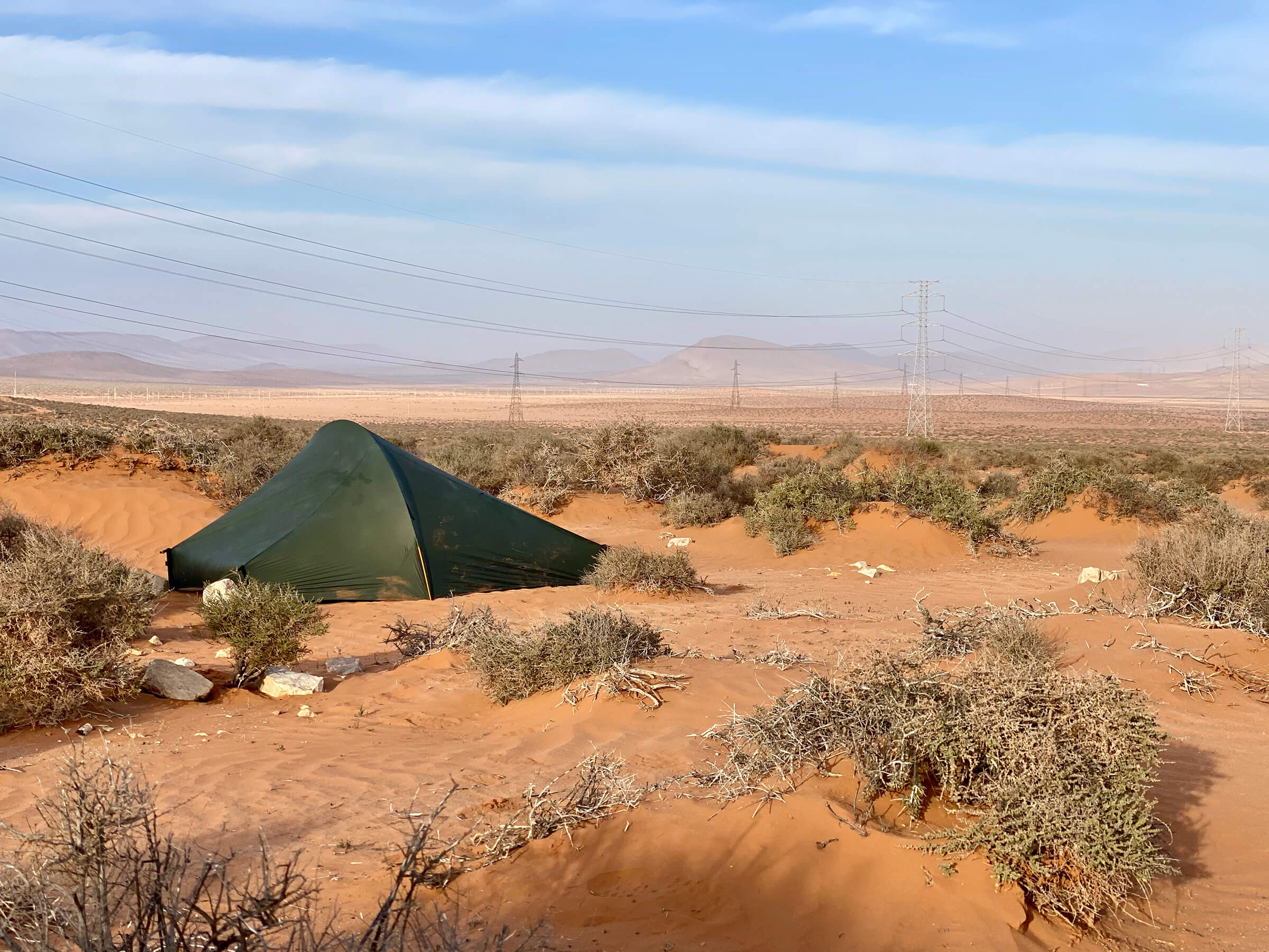
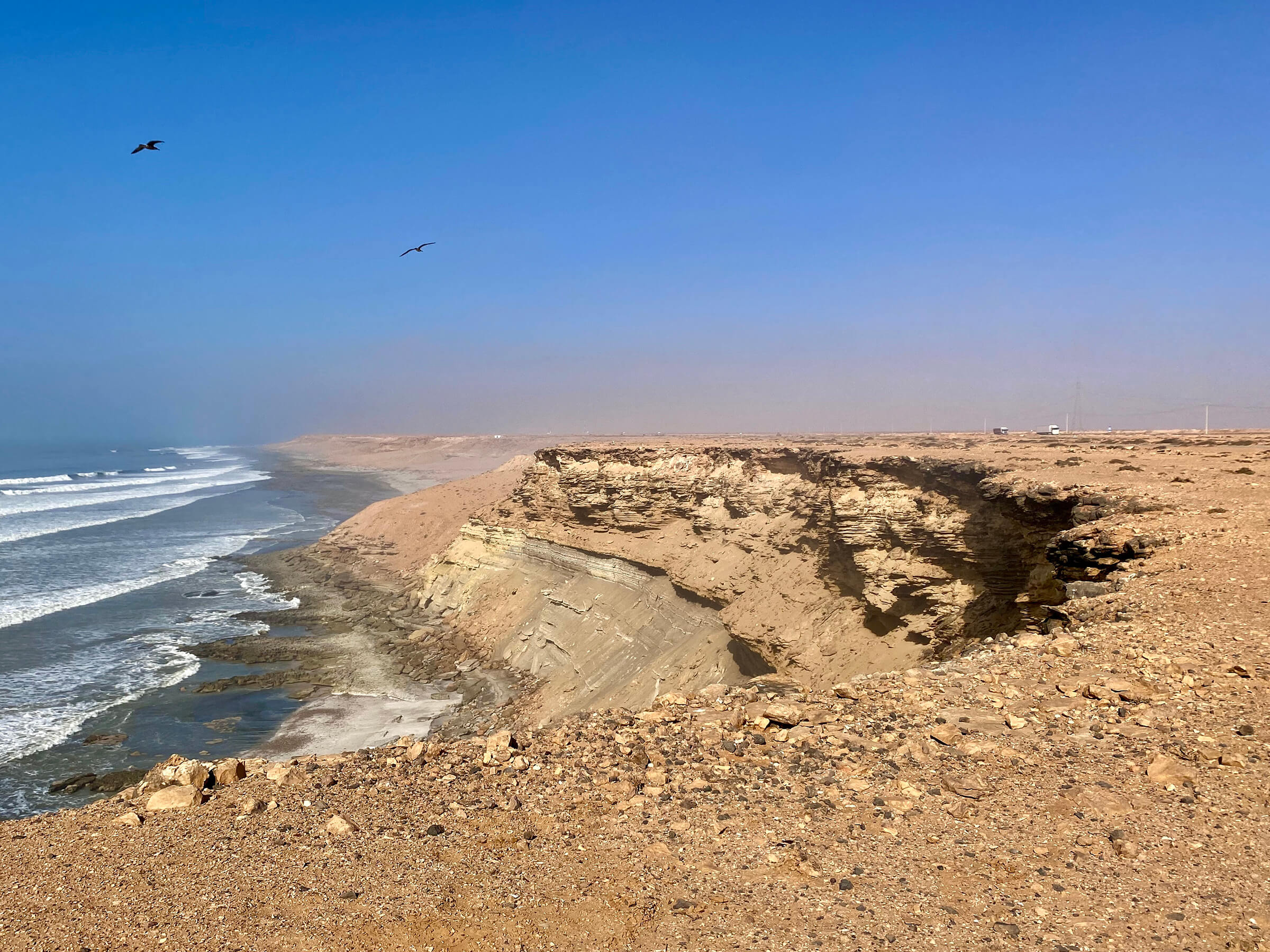
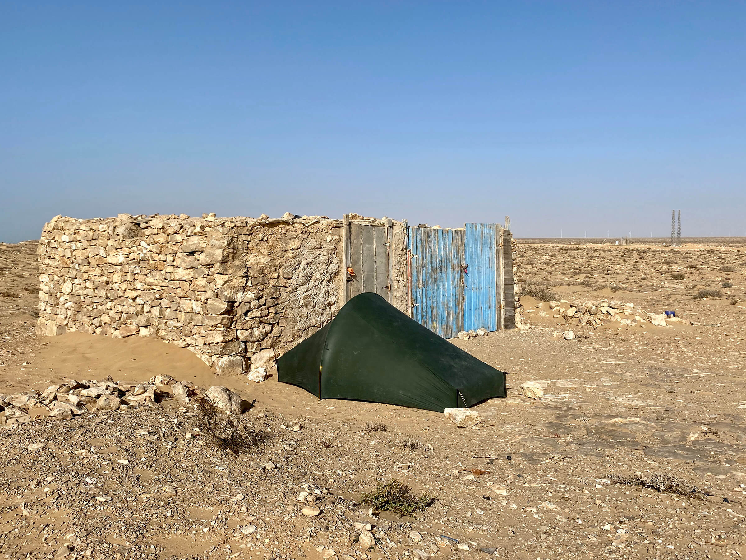
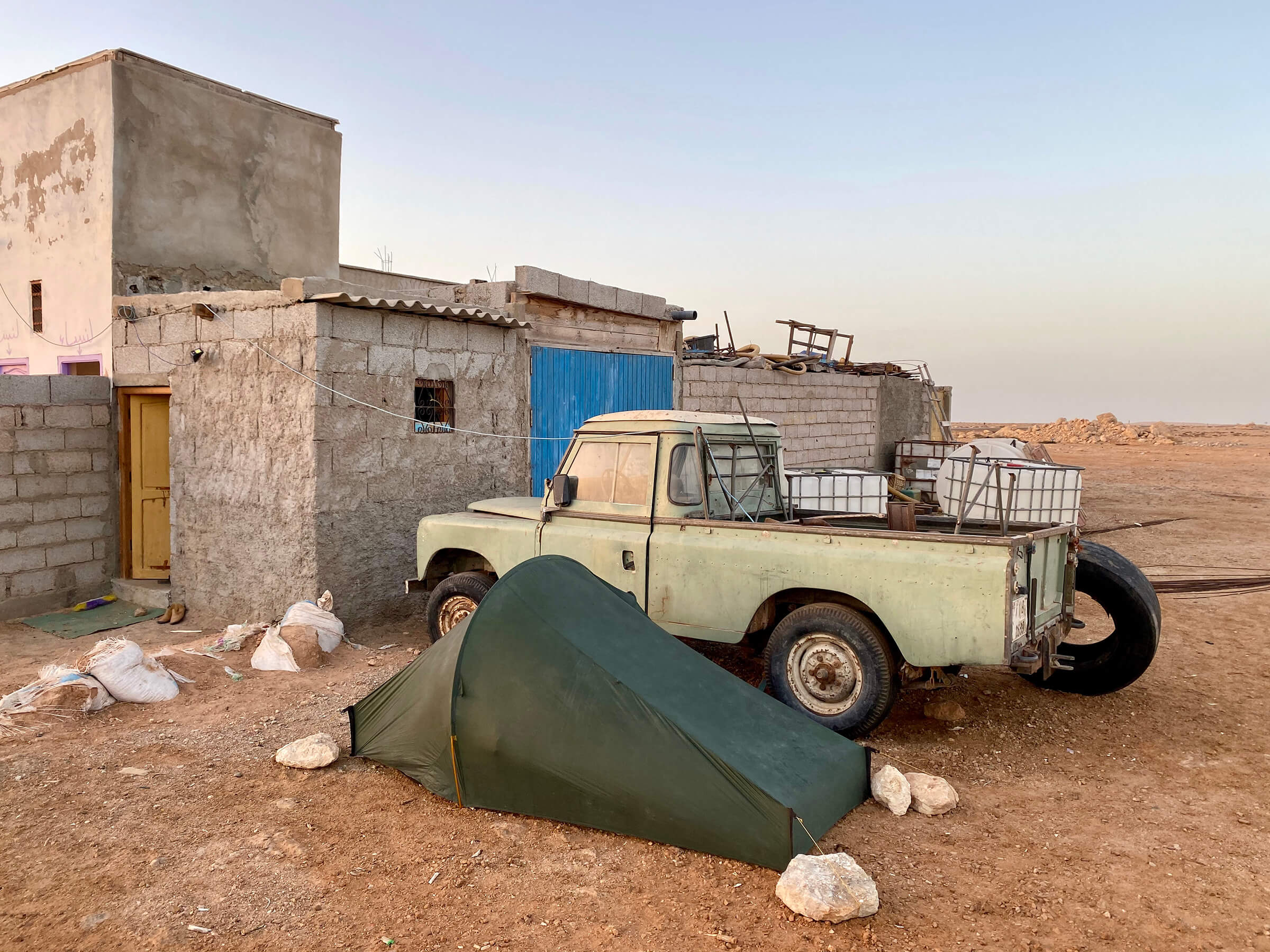
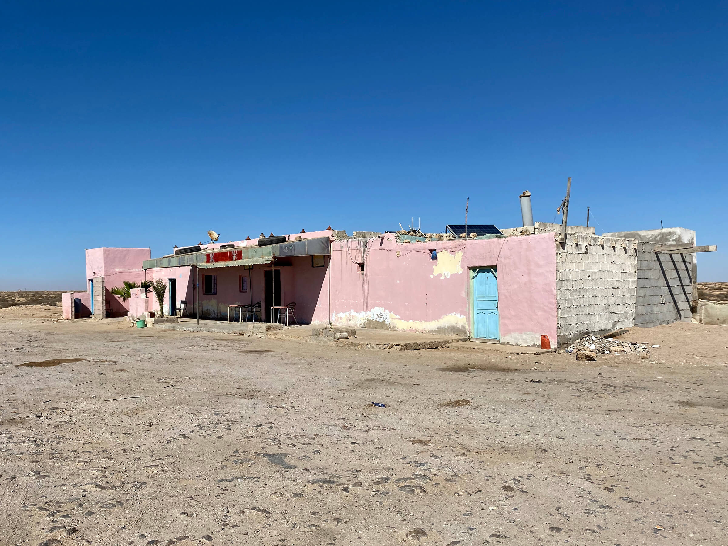
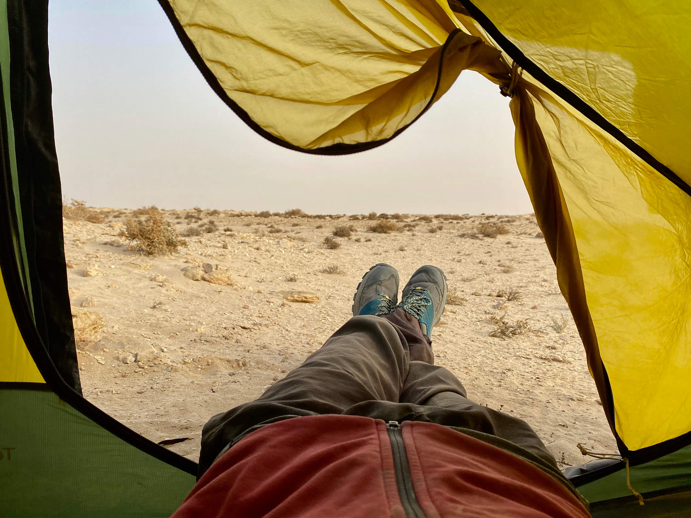
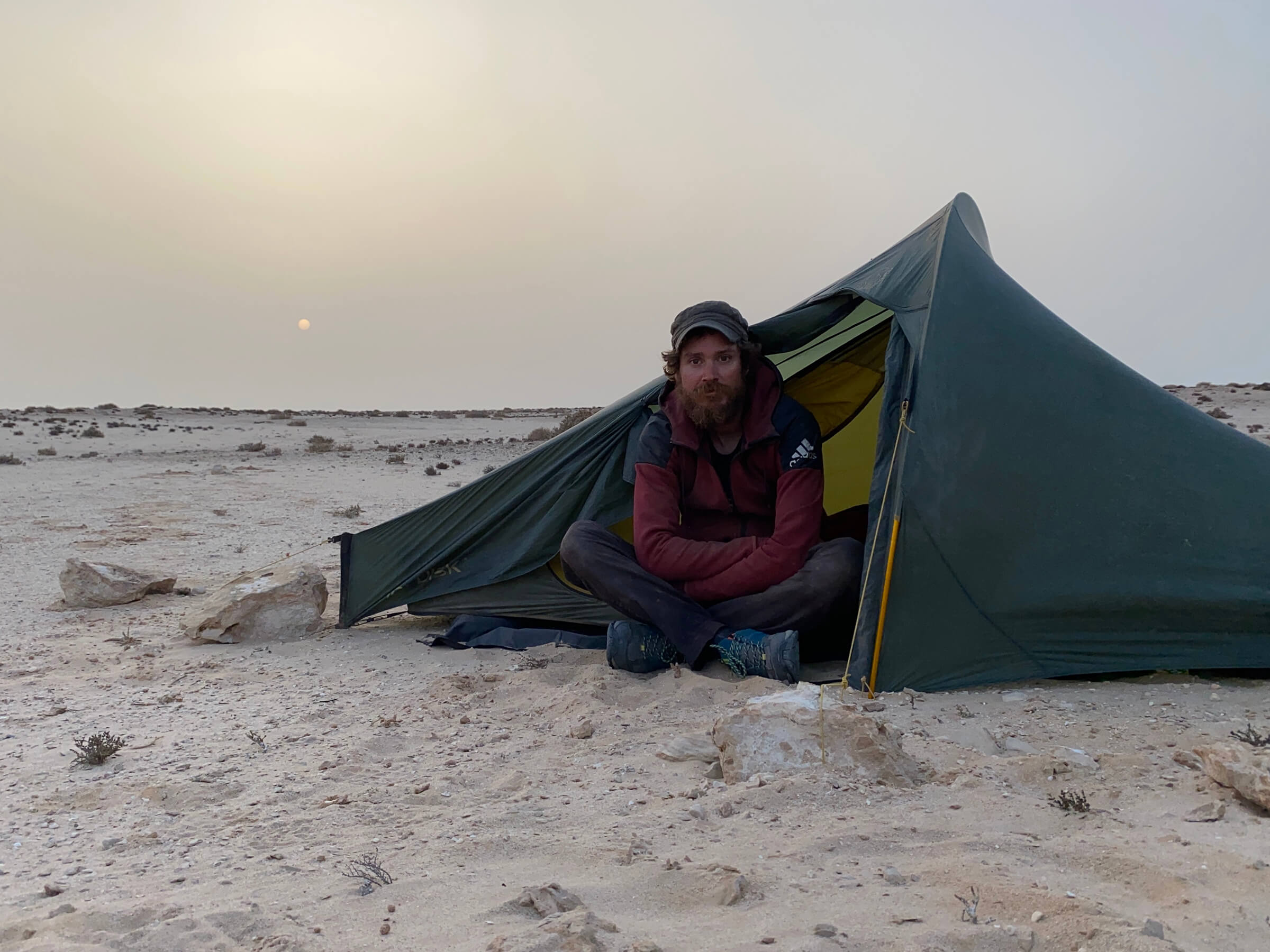
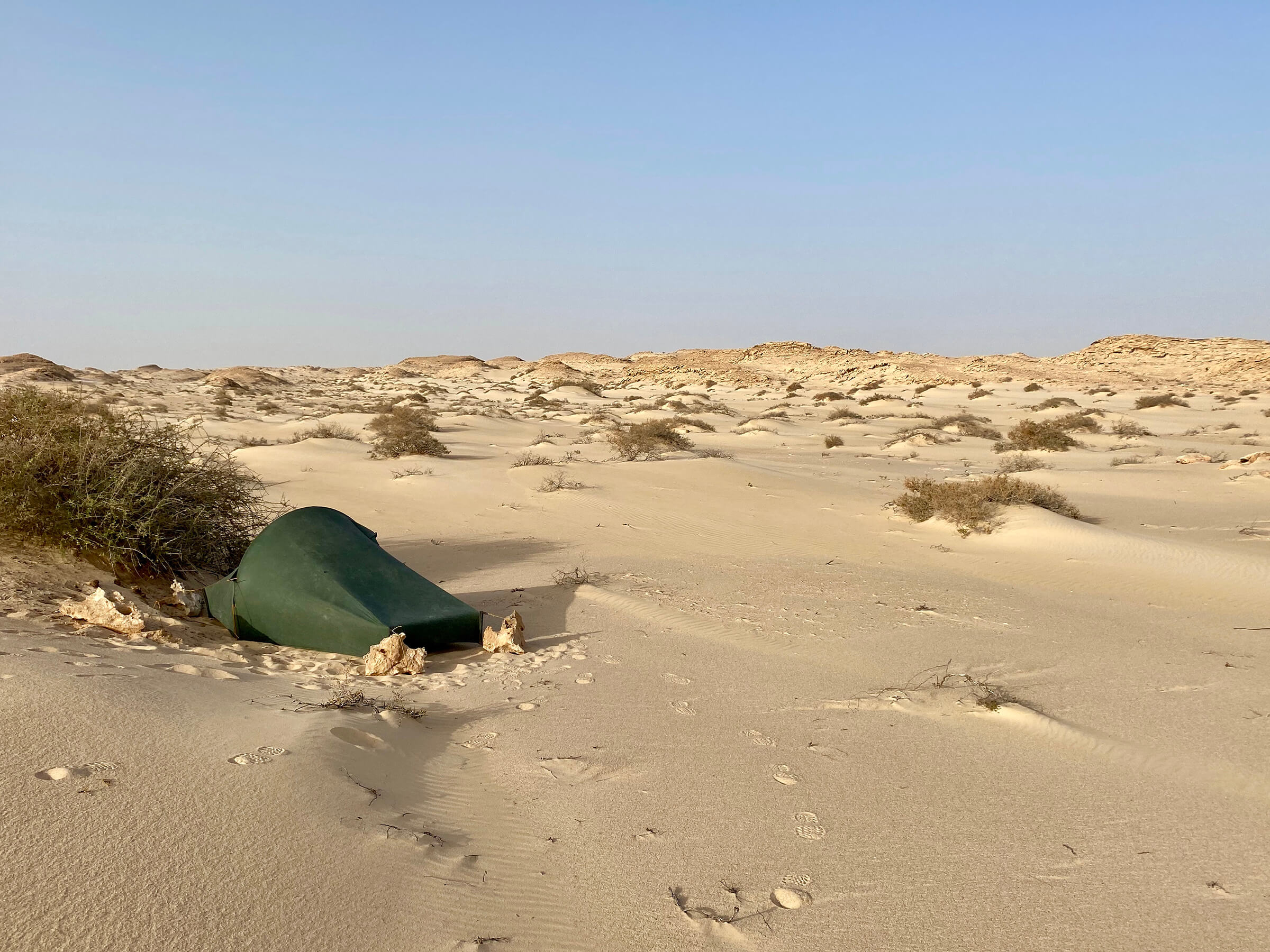
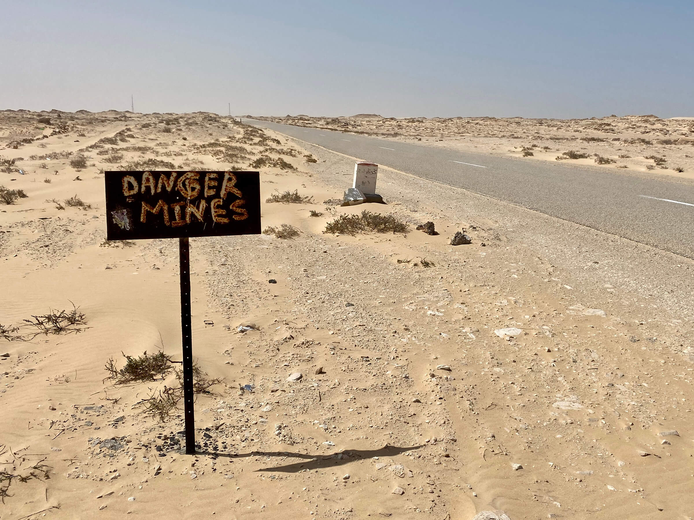
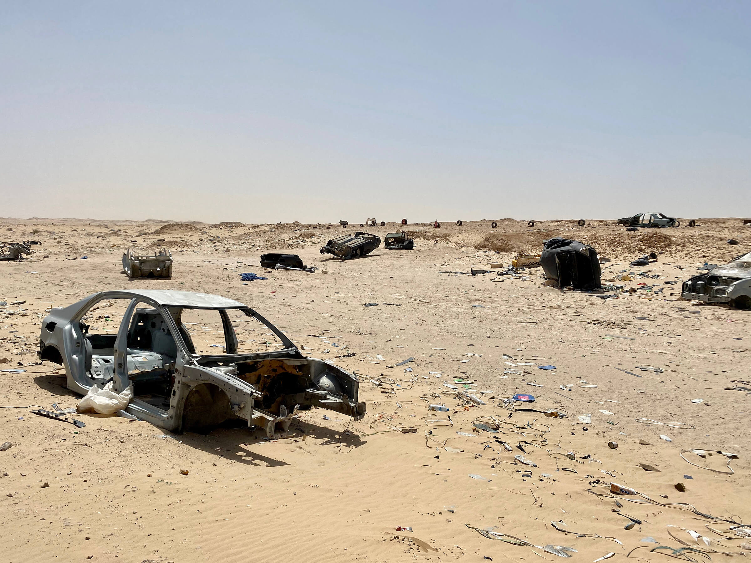
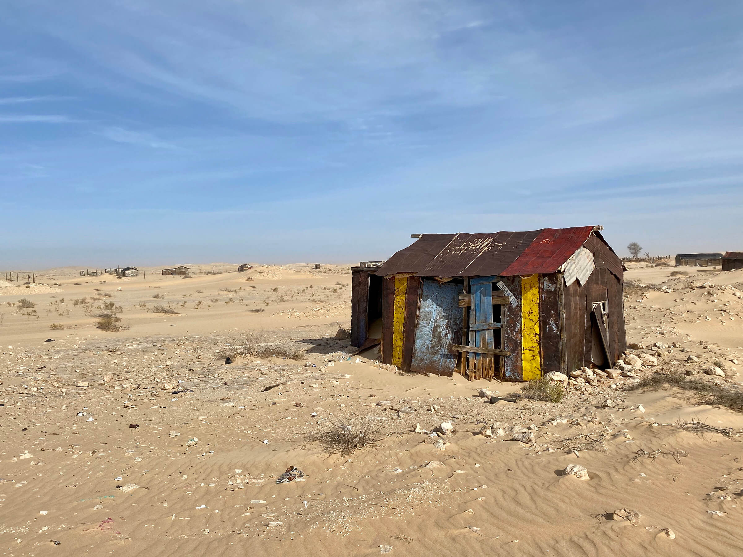
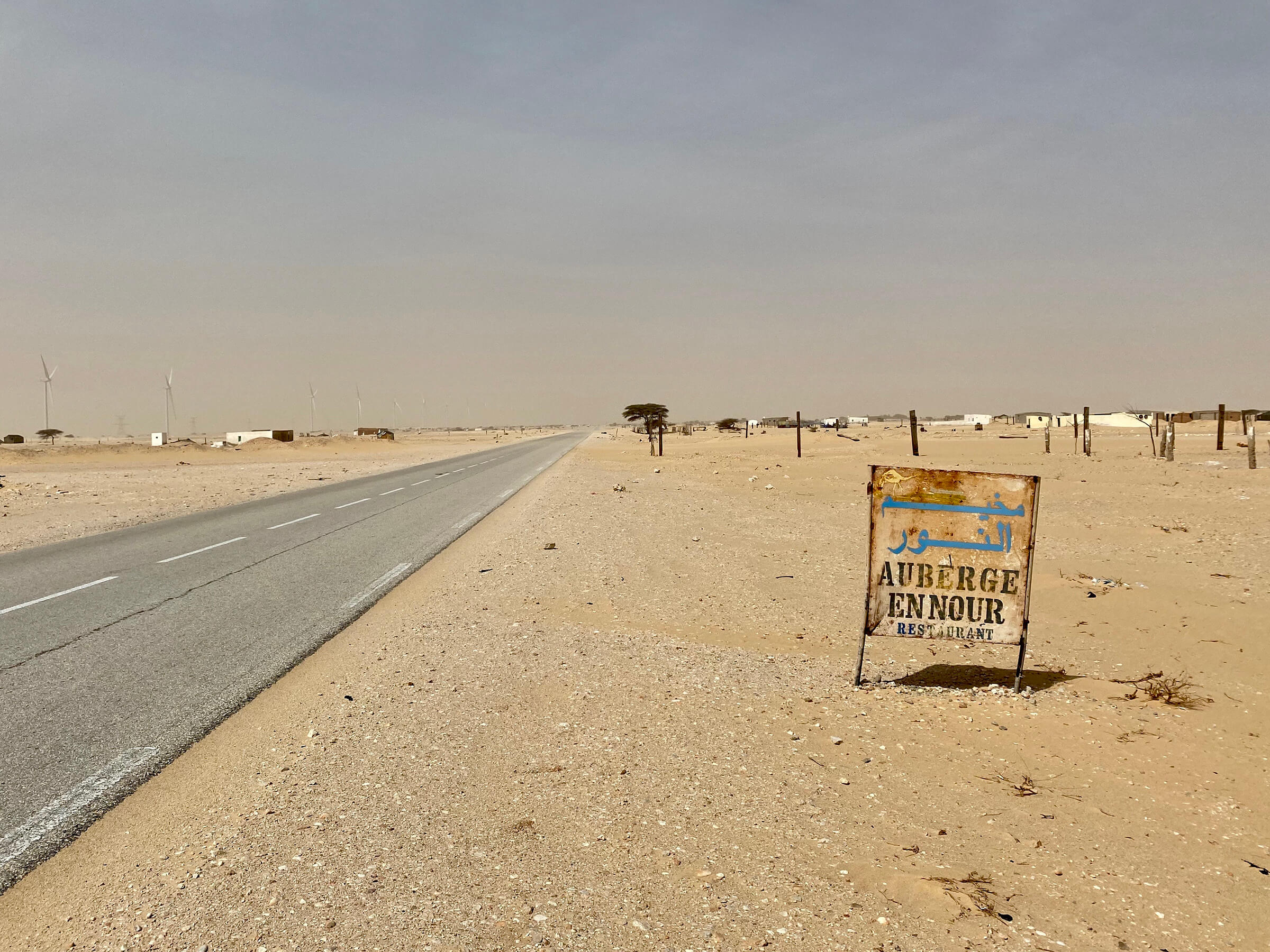
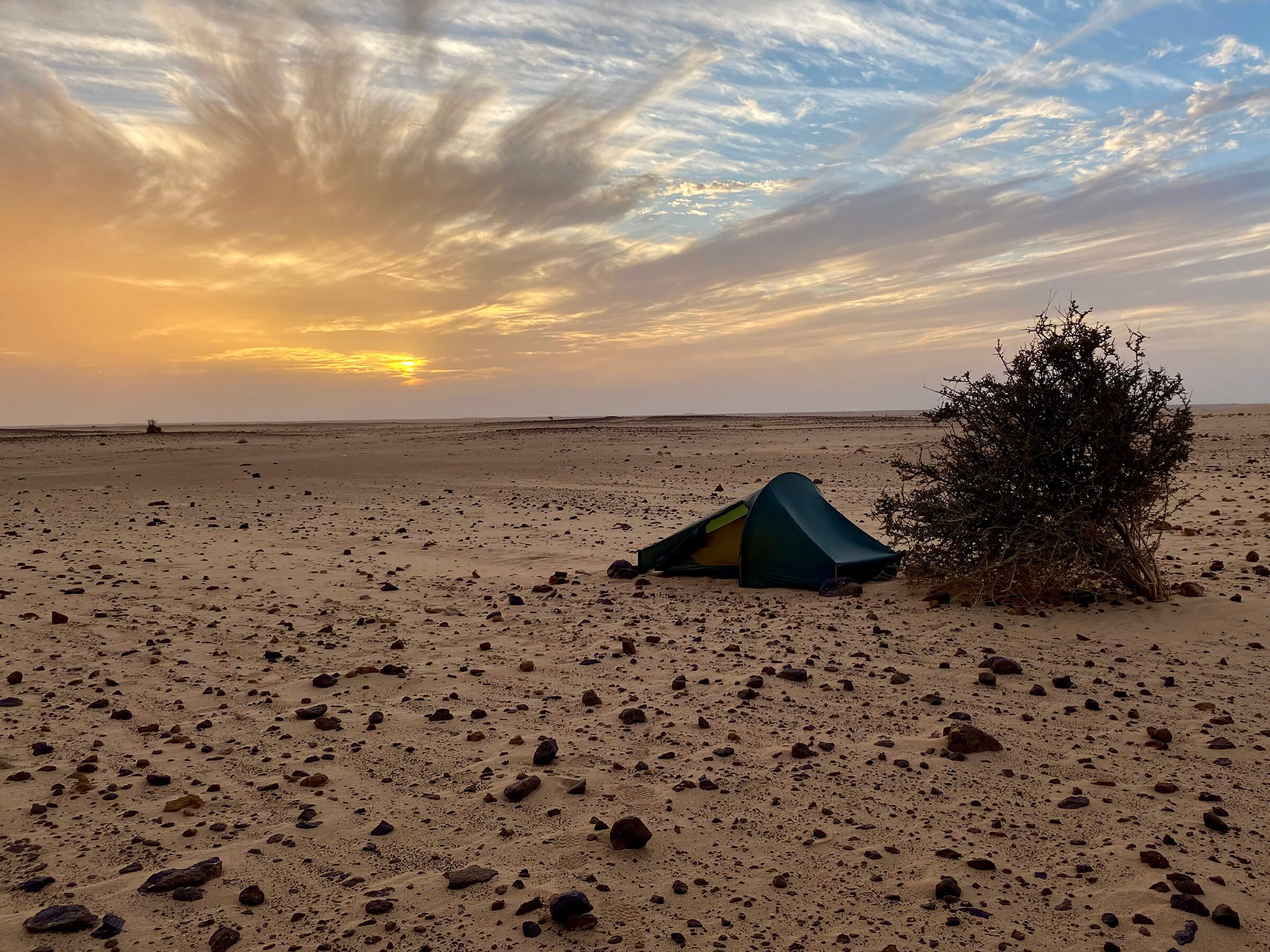
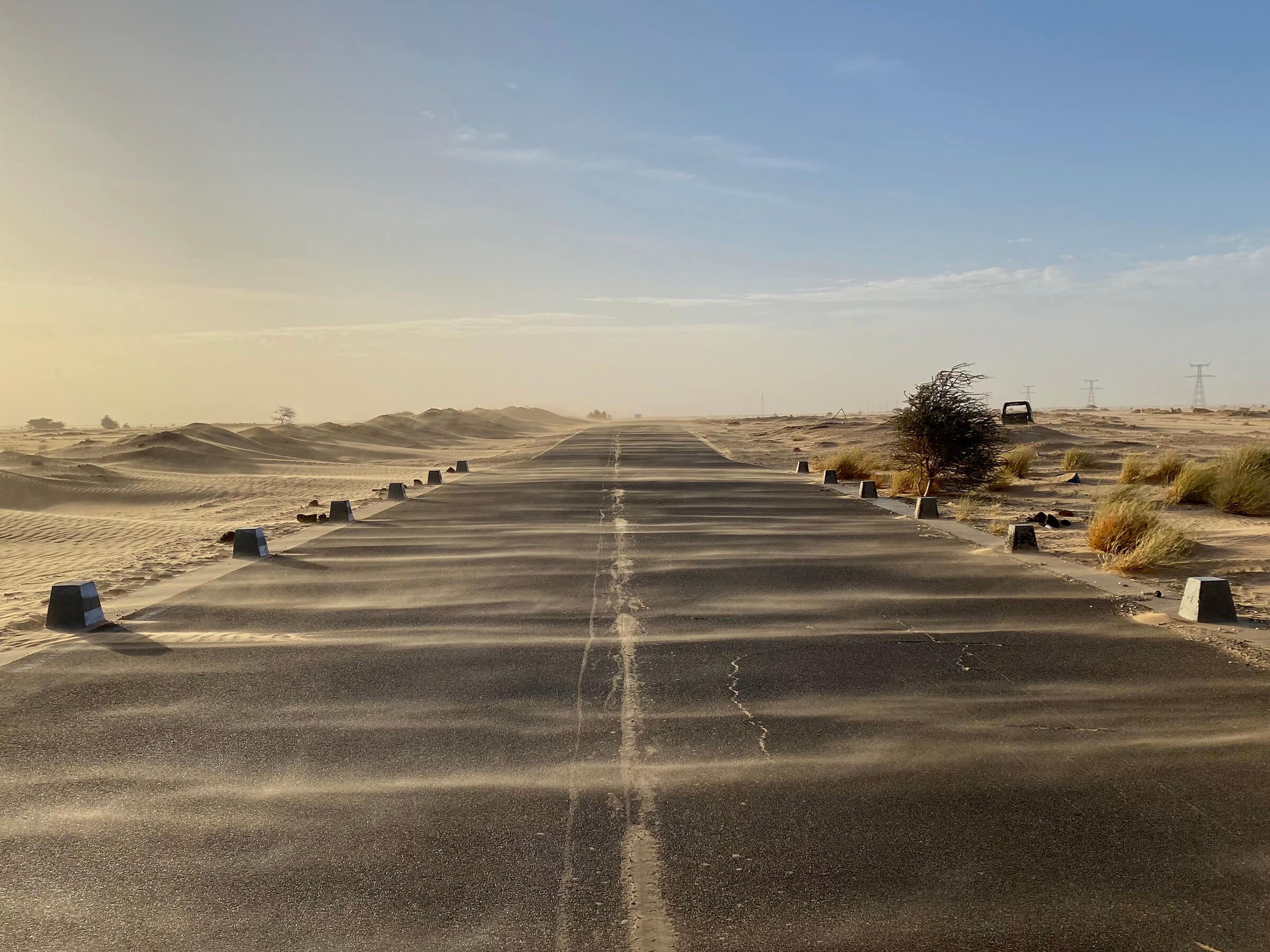
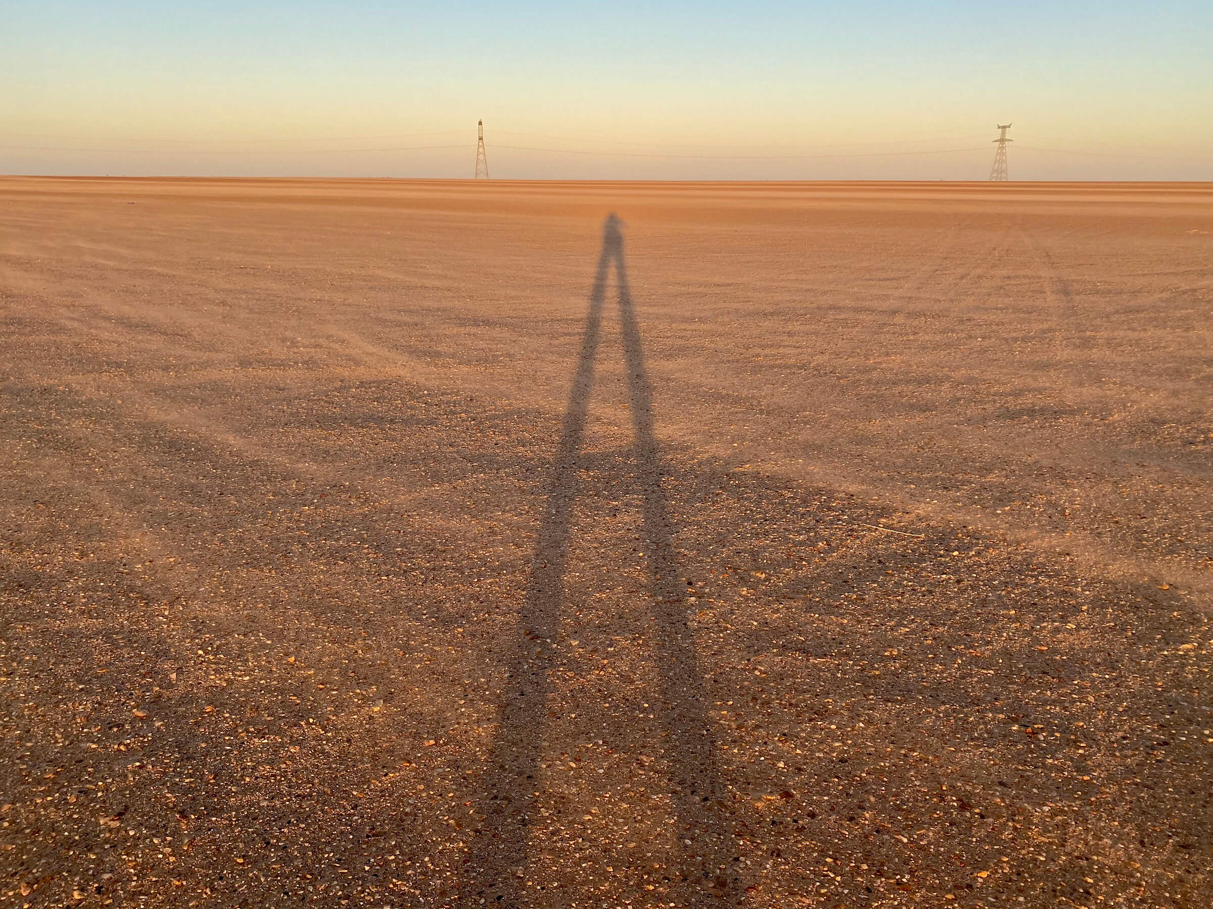
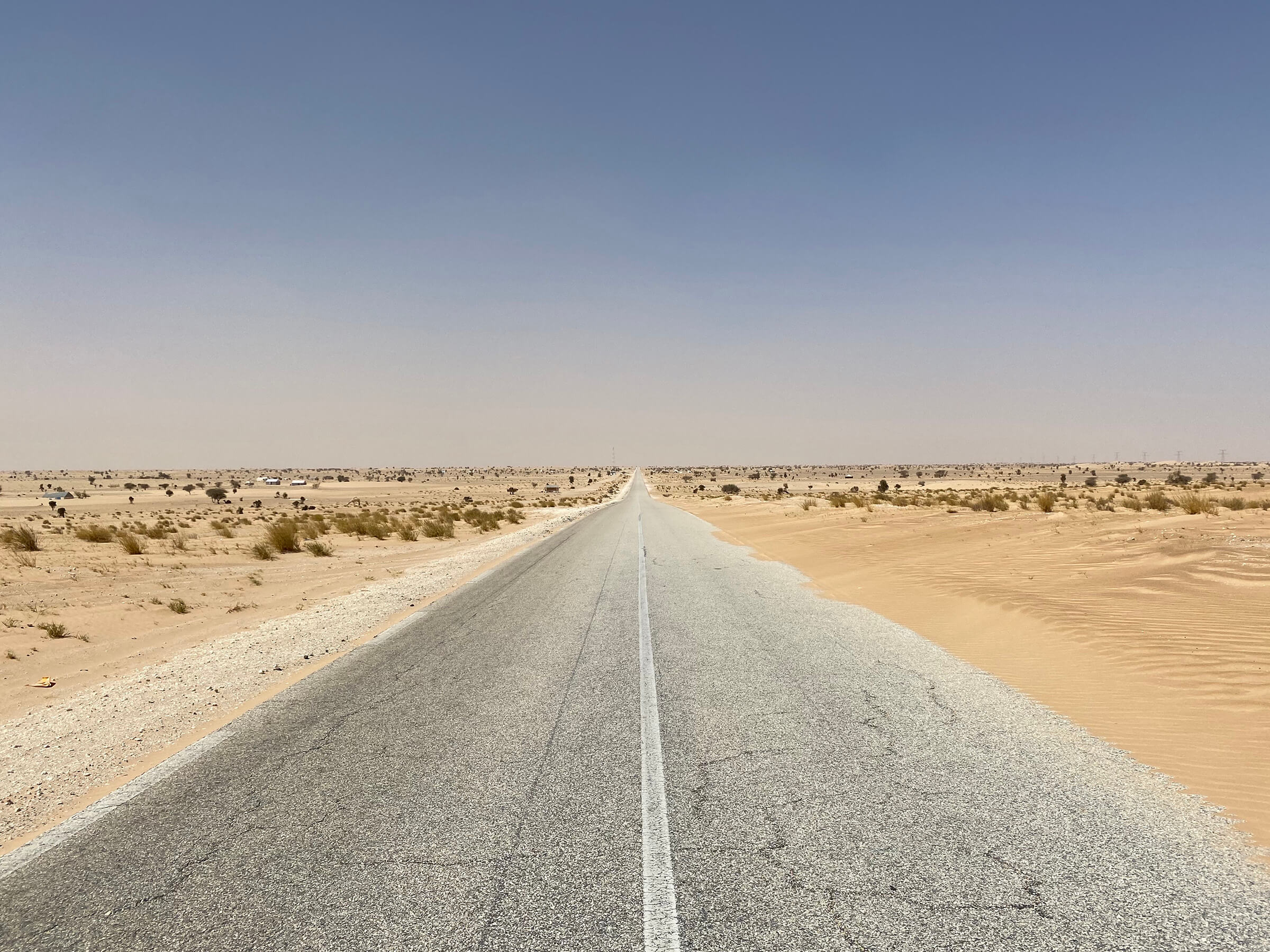
My plan to reach the westernmost point of mainland Africa in Dakar, Senegal, was interrupted just before Nouakchott, Mauritania, due to the Coronavirus outbreak. While my walk is currently on pause, I’m now exploring by road instead.
Fun Facts
I went through 5 pairs of shoes, walking an avarage of
850 miles
per pair.
I walked an average of 27 miles on a walking day (or 24 miles per day overall).
On my best day, I walked 43 miles.
On average, I have a short break every 5 weeks.
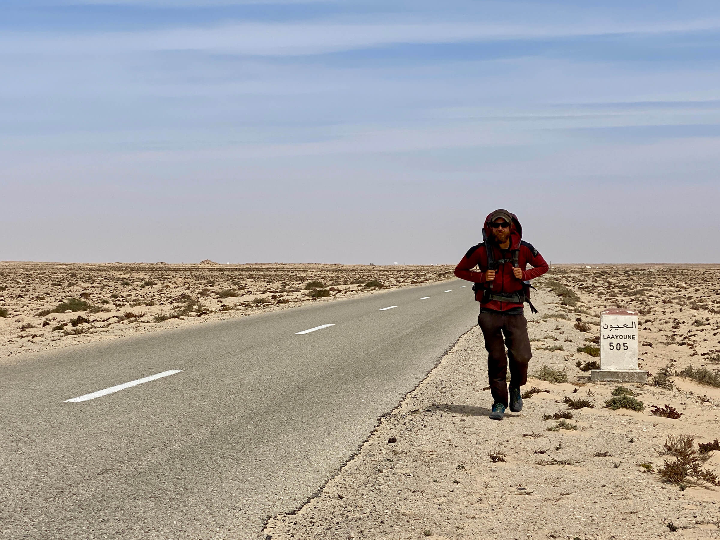
The longest stretch without a rest day was 75 days from Guadelajara in Spain to Laayoune in Western Sahara.
The total length of the journey is 4,240 miles
(or 38.4 million bananas for scale).
That's roughly 17% of the circumference of the earth.
In total, I accumulated 27 miles in altitude,
which is 4.8 times the height of Mount Everest.
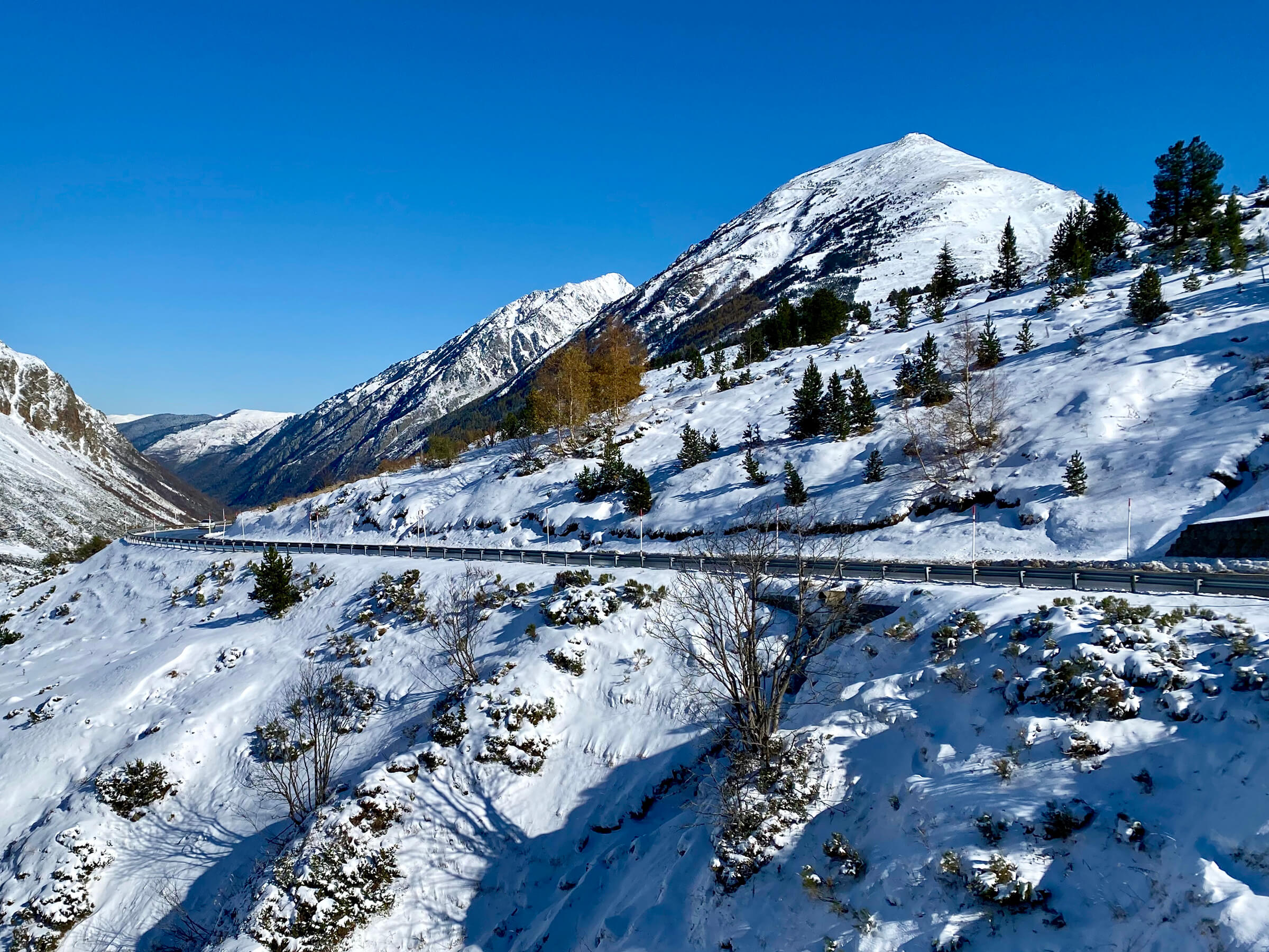
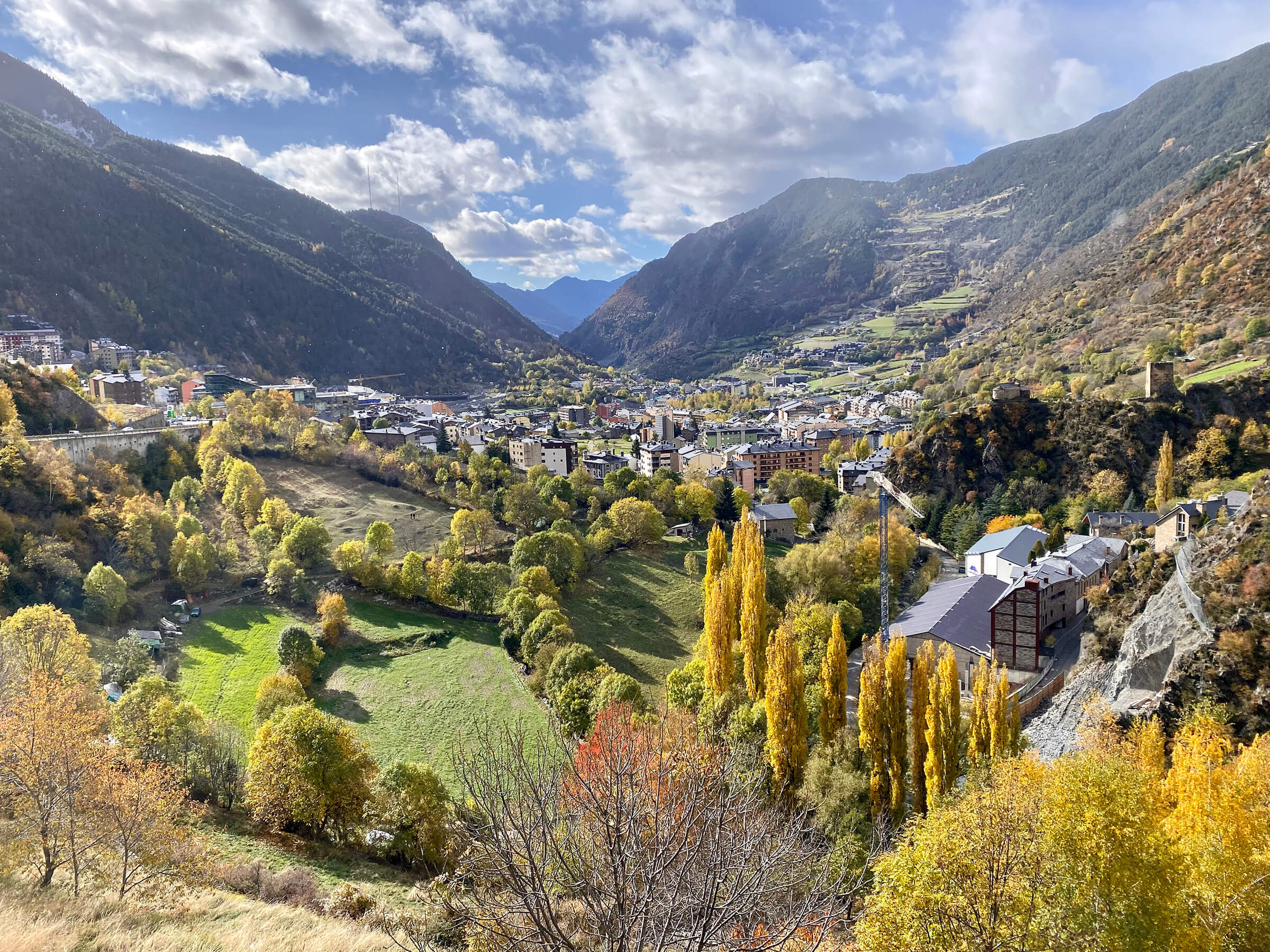
The highest place I reached was in Andorra, at 7,966 feet above sea level.
During my walk, I burned around 550,000 calories.
That's the equivalent of 1,650 cheeseburgers.